


XGRIDS - Lixel L2 Pro Survey Grade RTK Kit
XGridsShowroomITEM'S SPECIFICS
ITEM'S DESCRIPTION
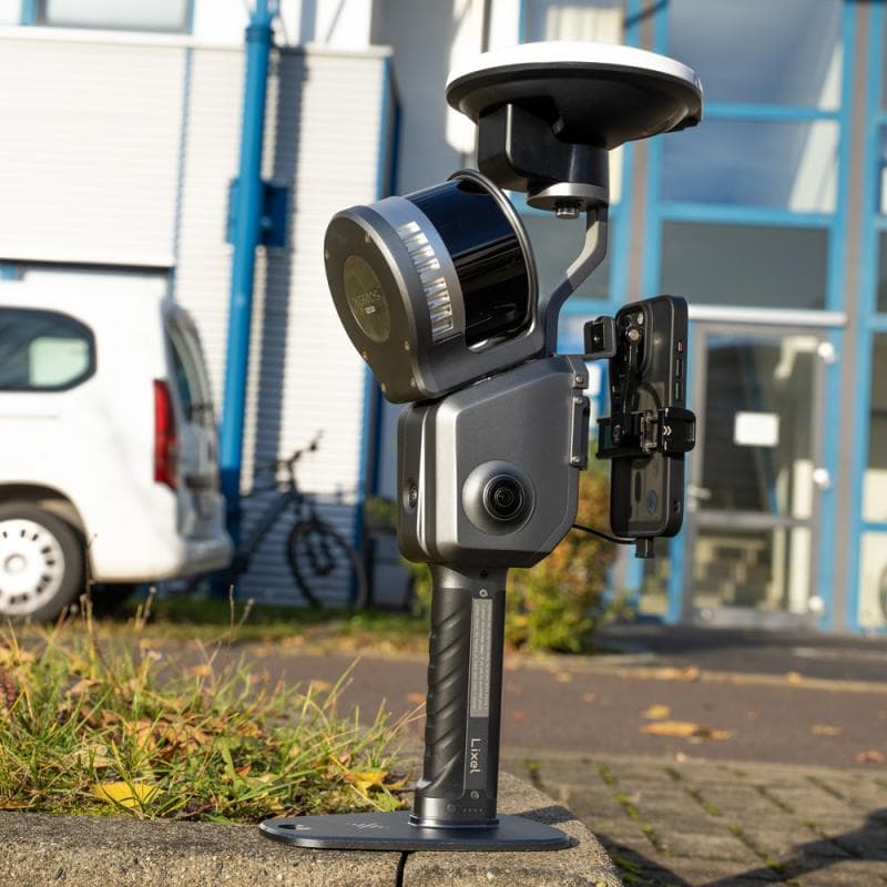
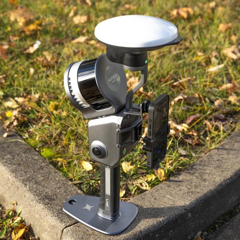
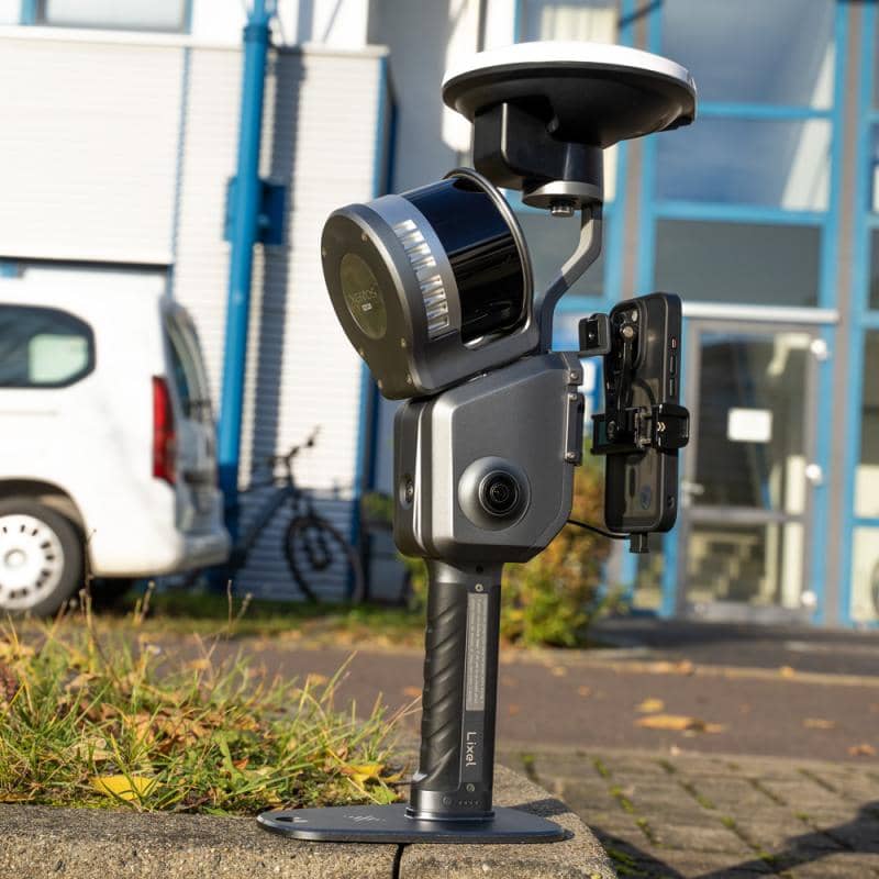
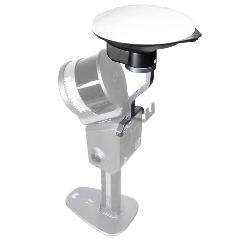
With the Survey Grade RTK Kit for the XGRIDS L2 Pro scanner, you get a reliable satellite signal even in challenging conditions. You receive centimeter-accurate RTK data supported by all major satellite systems: GPS, GLONASS, Galileo, and BeiDou.
Thanks to advanced antenna technology and a robust design, the kit delivers reliable results under any conditions — ideal for professional surveying, construction projects, and precise 3D modeling.
Compared to standard RTK, the Survey Grade Kit offers significantly improved performance for professional applications. Notably, the antenna axis ratio ≤ 3 dB ensures higher signal quality, and the maximum gain of 5.5 dBi (vs. 2.8 dBi for standard RTK). While standard RTK is suited for general applications, Survey Grade RTK is designed specifically for high-precision surveying and demanding 3D scanning projects.
Product characteristics
Supported satellite signals / channels
• GPS: L1 / L2 / L5
• GLONASS: L1 / L2
• BeiDou (BDS): B1 / B2 / B3
• Galileo: E1 / E5a / E5b / E6b
Accuracy
• Horizontal: 0.8 cm + 1 ppm
• Elevation: 1.5 cm + 1 ppm
Antenna
• Impedance: 50 ohm
• Polarization: Right-hand circular polarization (RHCP)
• Antenna axis ratio: ≤ 3 dB
• Horizontal coverage angle: 360°
• VSWR: ≤ 2.0
• Maximum gain: 5.5 dBi
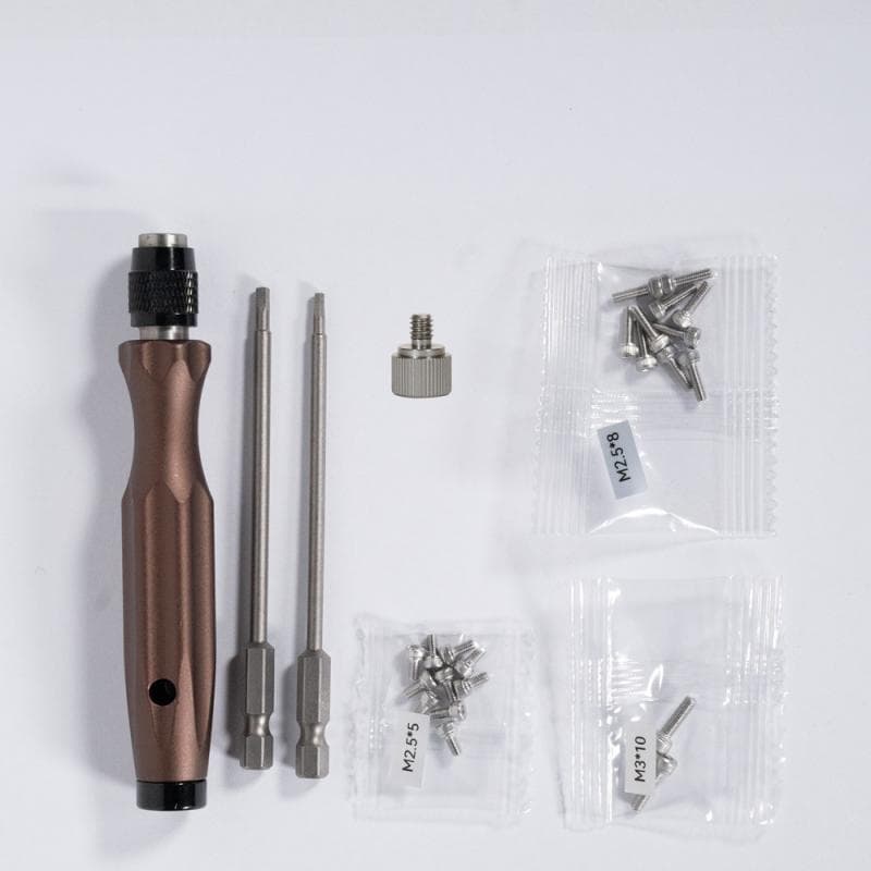
Delivery content
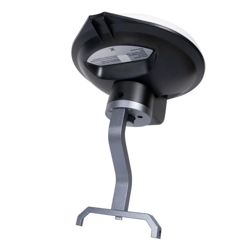
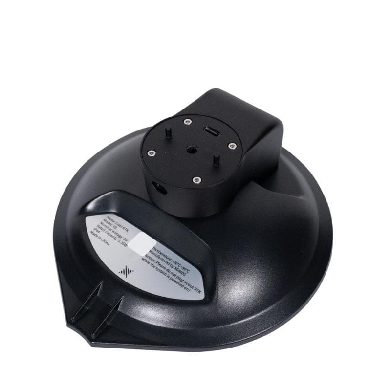
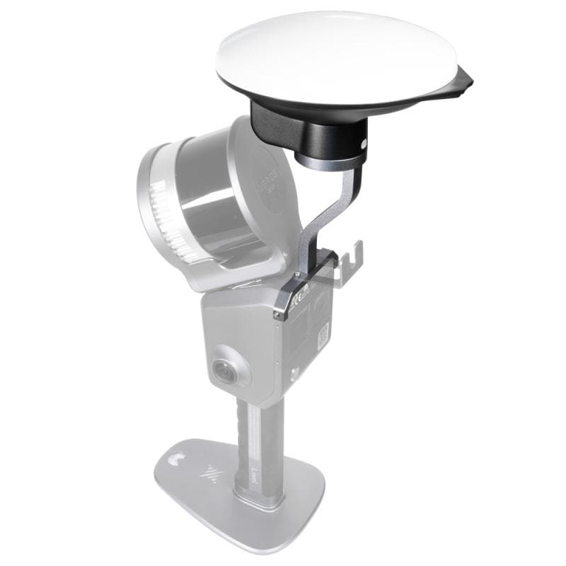
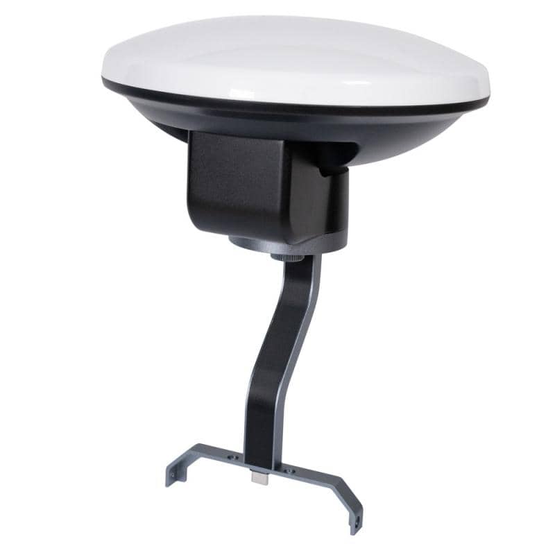
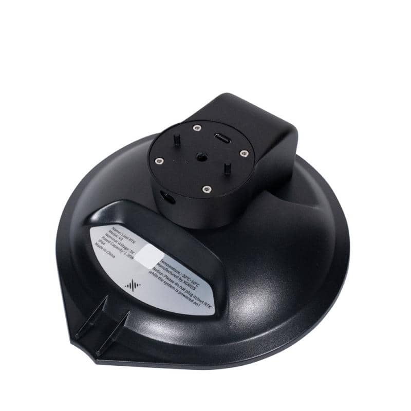
• 1 × Survey Grade RTK module
• 1 × mounting screw for RTK module
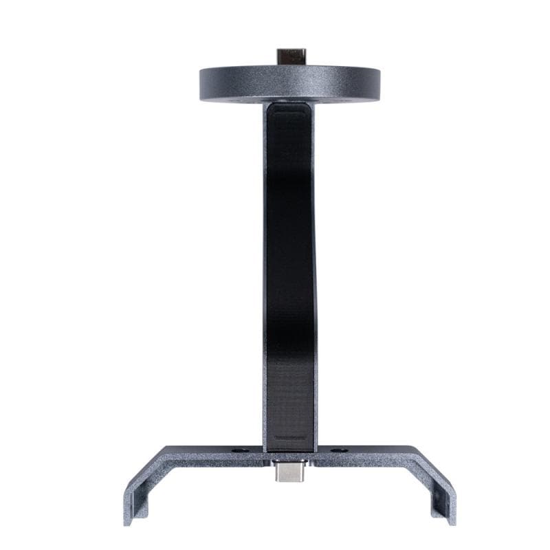
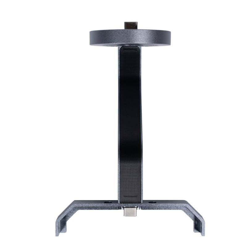
• 1 × L2 Pro RTK mount
• 1 × screwdriver with bits
• 3 × screw set
XGRIDS - Lixel L2 Pro Survey Grade RTK Kit
XGridsShowroom

