
3D Spatial Computing Systems
Take a leap forward with XGRIDS' Multi-SLAM and multi-sensor fusion technologies that redefine 3D modeling across industrial applications.

XGRIDS
XGRIDS develops advanced mobile 3D scanning systems designed for fast and accurate digital capture of real-world environments. The company combines LiDAR, visual sensors, and intelligent software to create efficient solutions for surveying, construction, and digital twin applications.
XGRIDS technology enables professionals to capture high-quality spatial data quickly, even in complex environments.
XGRIDS Mobile Mapping Scanner
PortalCam captures real spaces as photorealistic 3D worlds.
Powered by 3D Gaussian Splatting, PortalCam turns any location into interactive spatial models you can walk through, edit, and share.
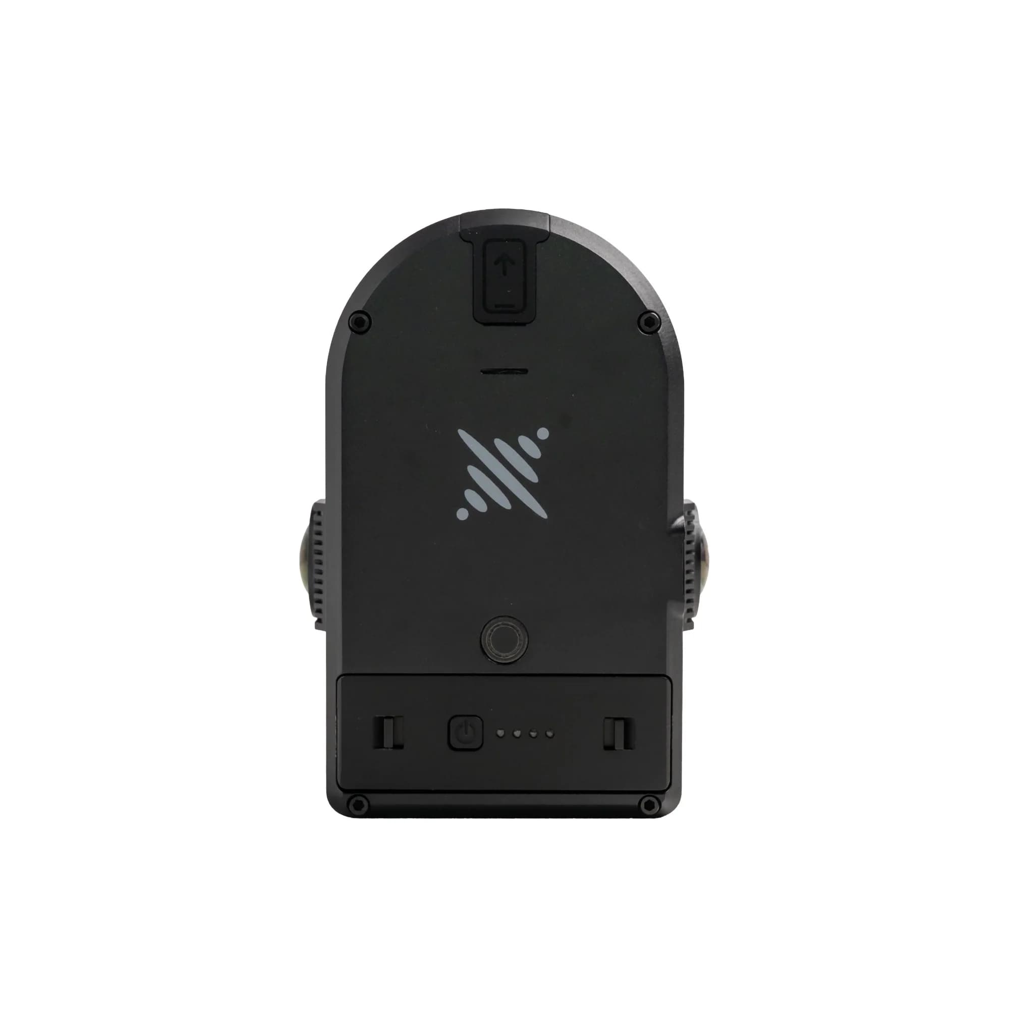
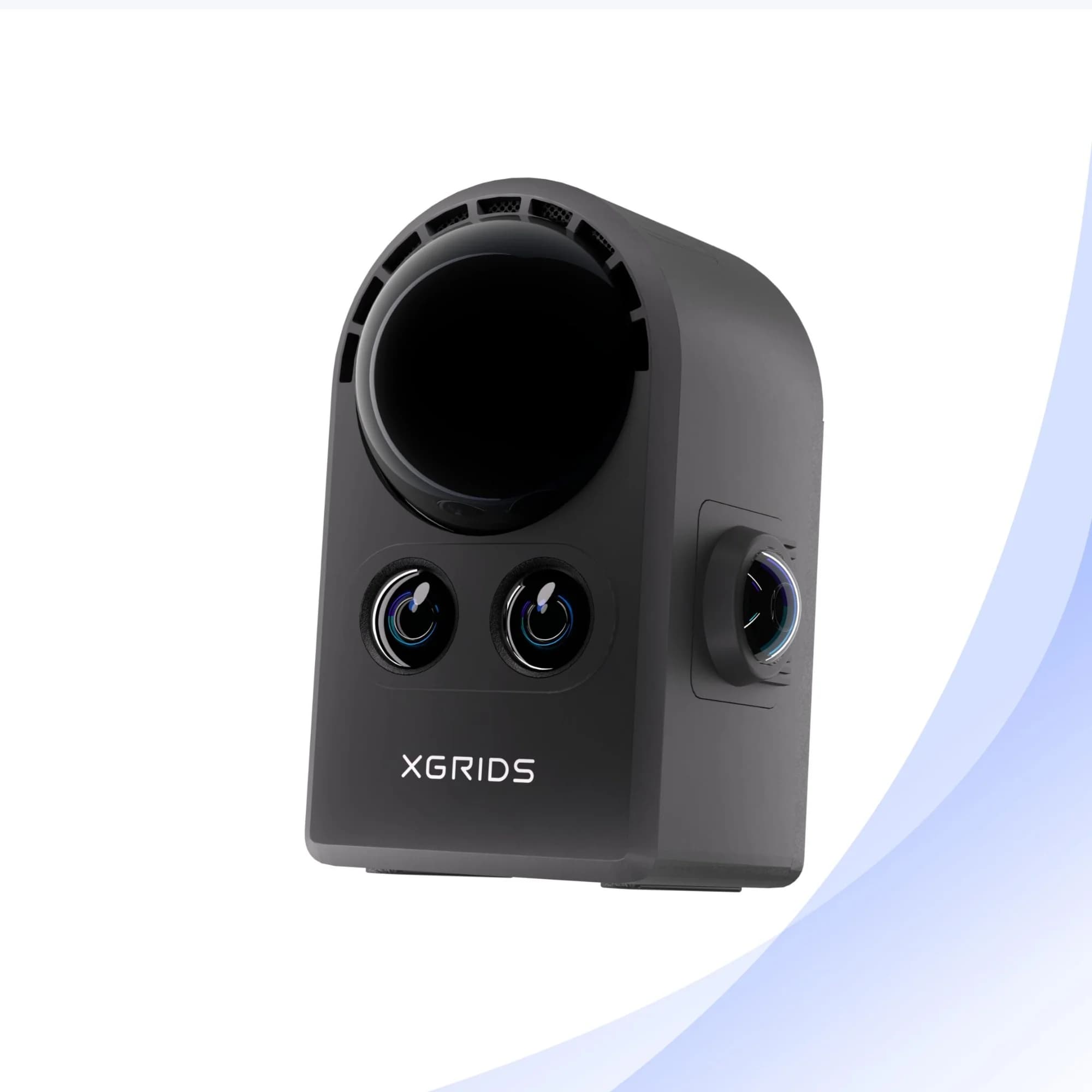
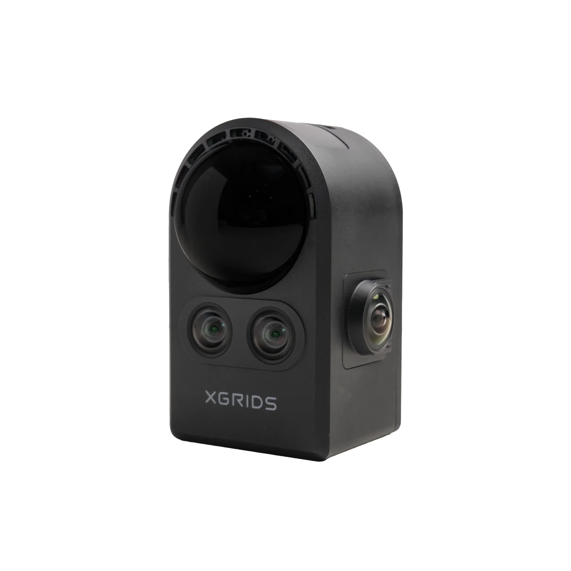
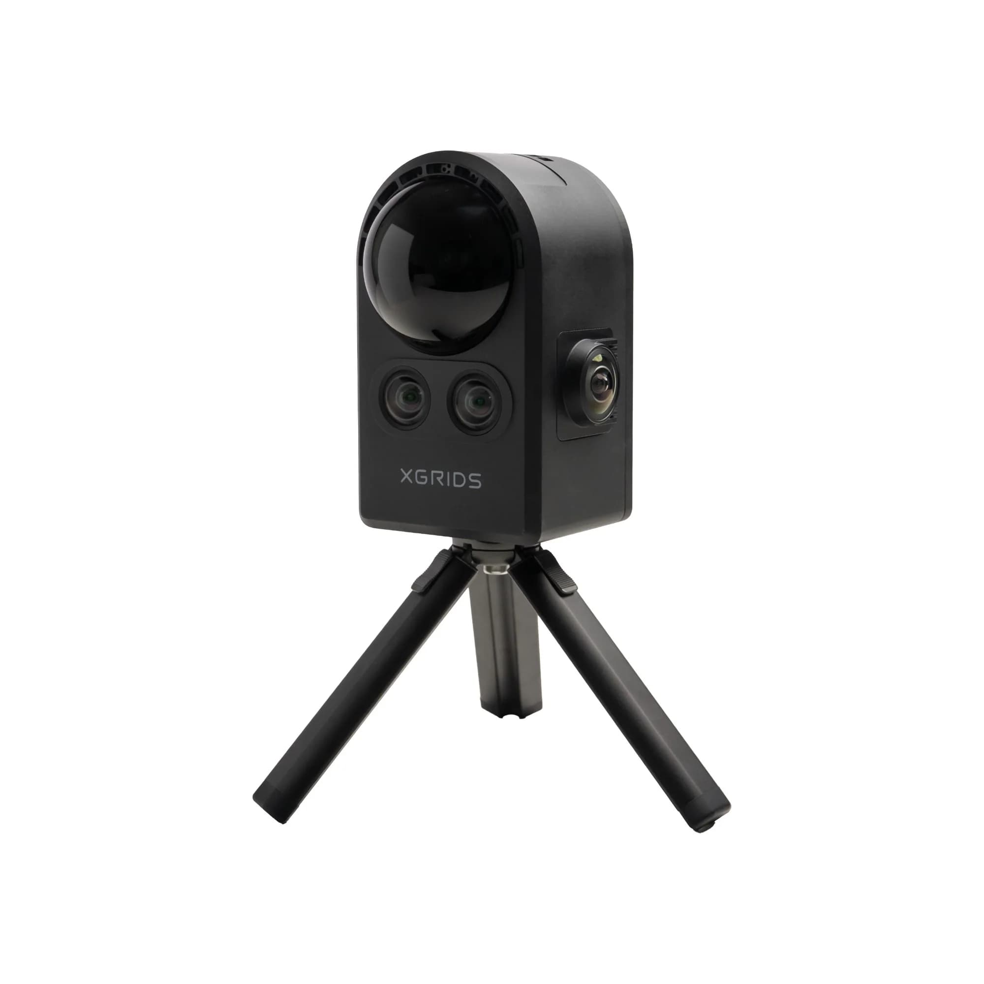
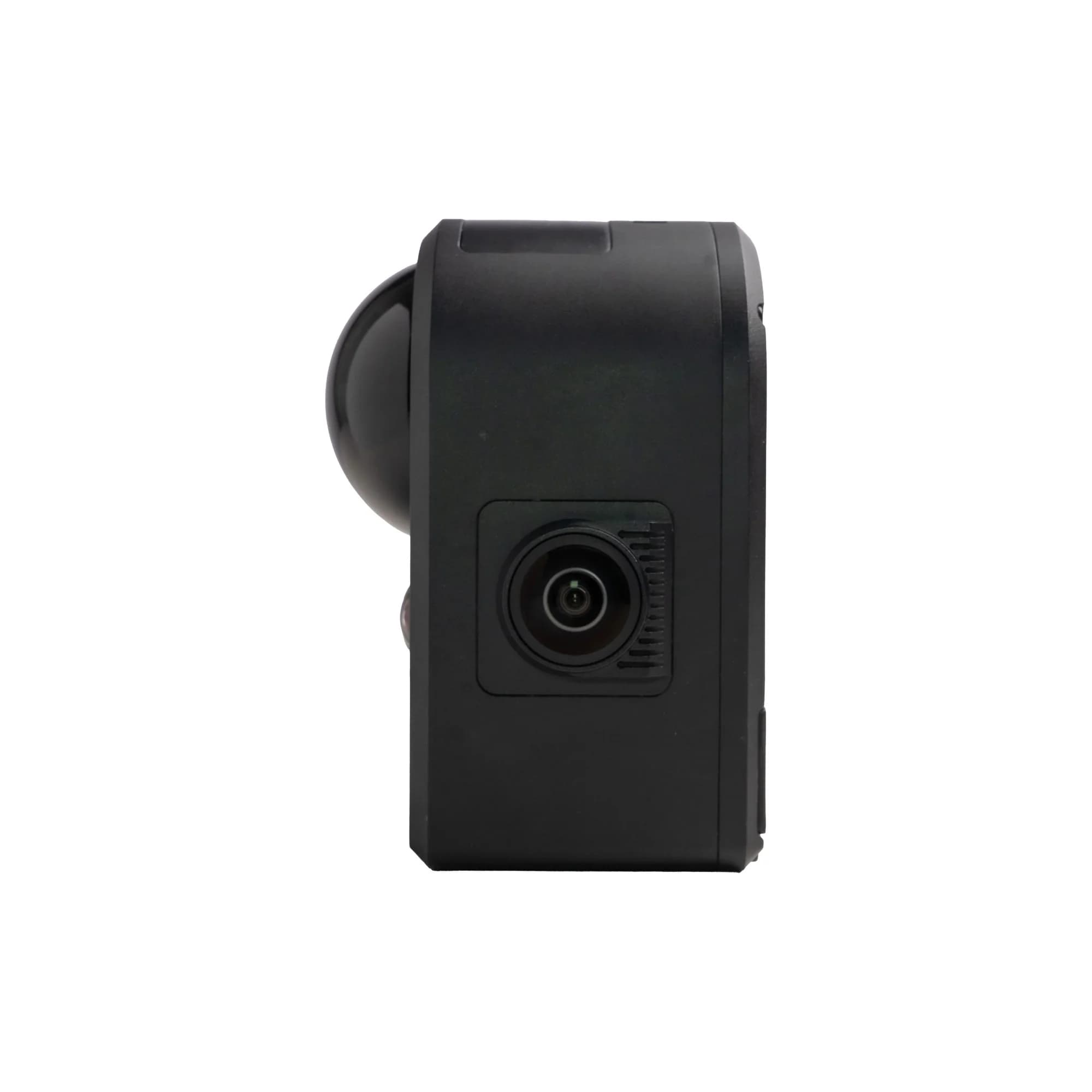
XGRIDS Portable 3D Scanning Camera
A compact mobile LiDAR and visual scanning device designed for fast capture of spatial data and creation of detailed 3D environments.
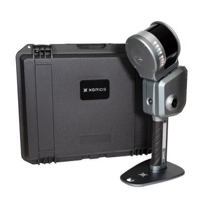
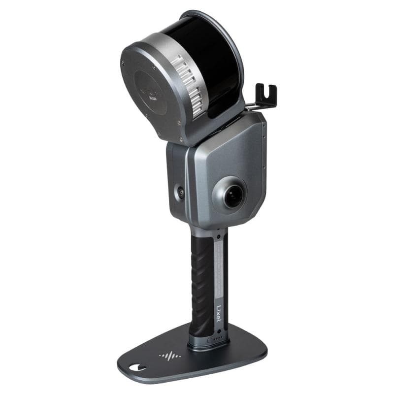
XGRIDS Lixel L2 Pro Mobile LiDAR Scanner
A handheld mobile LiDAR scanner designed for fast and precise 3D mapping of buildings, infrastructure, and complex environments.
Lixel L2 Pro
Real-time scanning and modeling device
The new Lixel L2 Pro combines LiDAR, visual, and IMU modules with AI, delivering real-time point cloud data that rivals post-processed quality, ushering in the "zero post-processing era" for SLAM devices.
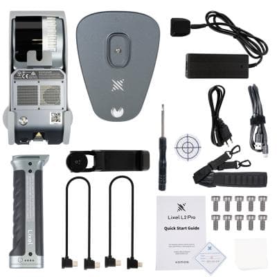
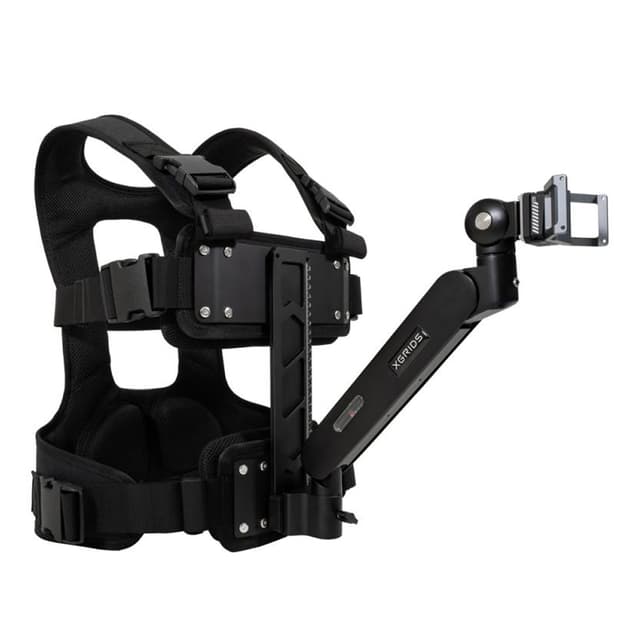
Accessories
Need Help With XGRIDS Equipment?
Contact our team to get detailed information about XGRIDS LiDAR scanning systems, availability, pricing, and delivery options. Our specialists will help you choose the right solution for your project.