
Leica BLK360 Review – “Compact & Powerful”

This article outlines the key characteristics of both generations, practical applications and arguments explaining why the BLK360 is considered both compact and powerful.
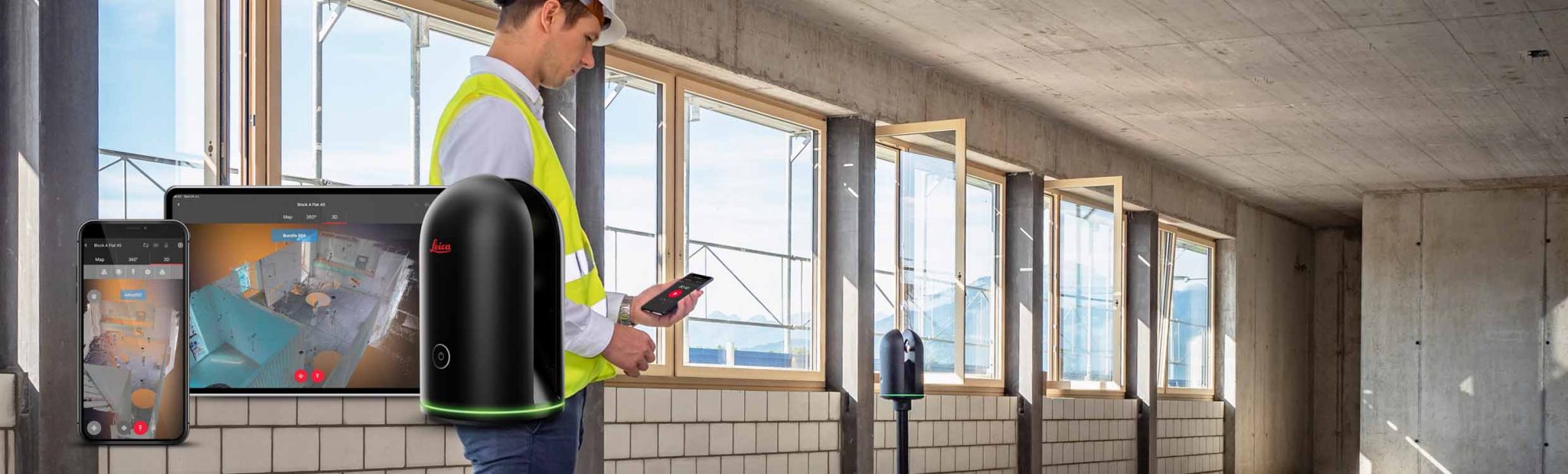
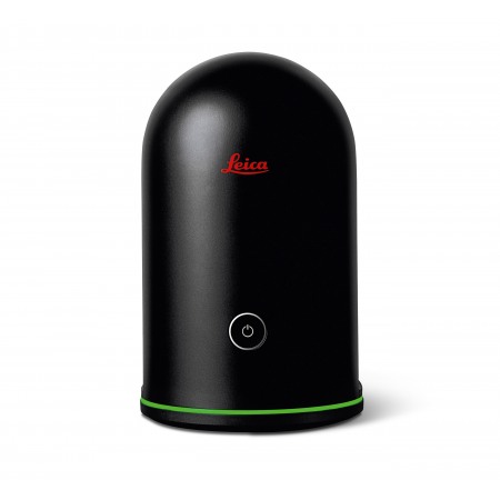
In recent years laser scanning has evolved from a niche technology to a mainstream tool: architects, engineers and even designers use scanners for rapid digital capture of existing conditions. Yet many 3D scanners are bulky or require complex set‑up. The Leica BLK360 is intended as a compact, “democratised” device: with a black anodised aluminium body, a single power button and control via the Cyclone FIELD 360 or BLK Live mobile apps. The aim is to allow even non‑surveyors to obtain high‑quality point clouds and spherical images for BIM modelling, inspections and presentations.
Compactness and portability
The first‑generation BLK360 G1 stands out for its low weight. According to the specifications, the instrument is 165 mm tall, 100 mm in diameter and weighs around 1 kg. The built‑in battery enables more than 40 setups and the internal memory holds data from over 100 scans. The scanner supports single‑button operation and can be mounted upright or upside down.
The second generation, BLK360 G2, is even more compact: it measures 155 × 80 mm and weighs about 0.75 kg (0.85 kg including battery). Leica emphasises that the unit is 20 % smaller than its predecessor and comparable in size to a soft drink can. Such portability means the scanner can be carried in a small bag and easily moved around a site—ideal for interior work, heritage documentation and field projects.
Sensor system and data quality
BLK360 G1
The BLK360 G1 uses a Class 1 laser and a time‑of‑flight distance measurement system enhanced by Waveform Digitizing (WFD) technology. It captures up to 360 000 points per second, with a measurement range from 0.6 m to 60 m. The stated range accuracy is 4 mm at 10 m and 7 mm at 20 m, while the 3D point accuracy is 6 mm at 10 m and 8 mm at 20 m. A full dome scan with HDR imagery and a thermal image takes less than three minutes. The imaging system uses three 15‑megapixel cameras to generate a 150‑megapixel HDR spherical image, and a FLIR thermal camera overlays temperature datat.
BLK360 G2
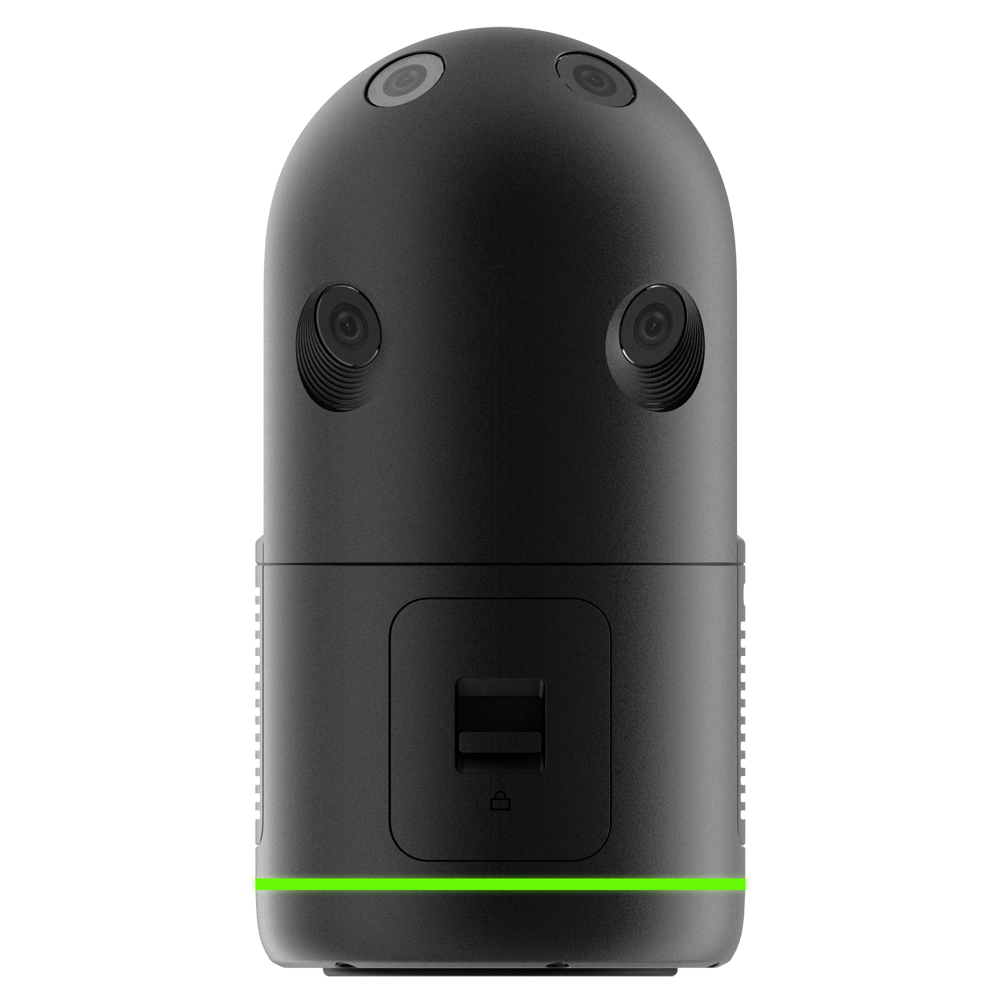
The G2 version significantly increases performance. The integrated LiDAR sensor collects point clouds at 680 000 points per second and completes a full scan with photosphere in 20 seconds. Four user‑selectable modes let you capture data in 7, 13, 30 or 75 seconds at the maximum point rate. The measurement range has been reduced to 0.5–45 m, yet the accuracy improves: the 3D point error is about 4 mm at 10 m. The four‑camera system (13 MP each) produces five‑bracket HDR images, providing rich colour information for photorealistic point clouds.
Smart functions and workflows
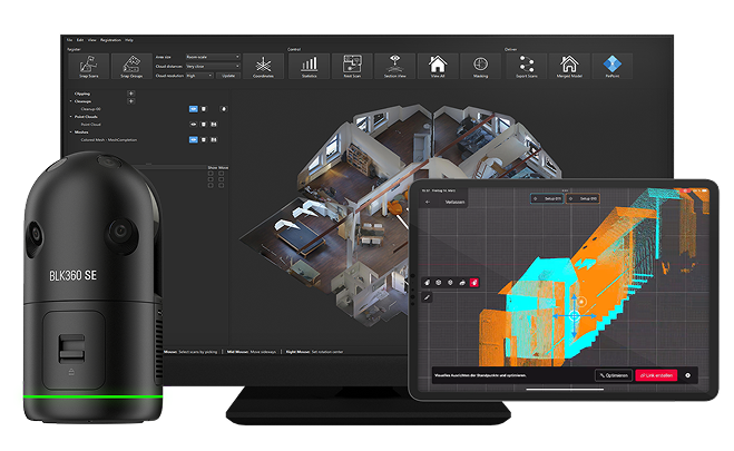
A key innovation in the BLK360 G2 is the Visual Inertial System (VIS). This module combines inertial sensors and video cameras to automatically align and register scans in the field: each new scan is combined with the previous one without using targets. As a result, users spend less time on manual registration; point clouds are ready for export to Cyclone REGISTER 360 or other software.
Data transfer is available via two channels: Wi‑Fi for quick synchronisation and USB‑C, which delivers transfer speeds nine times faster than the G1. Dedicated BLK Live and Cyclone FIELD 360 apps allow remote control of the scanner, viewing of point clouds, adding notes and exporting files in formats such as E57, RCP or LGS.
Practical applications
The combination of compactness and high capture speed makes the BLK360 popular across diverse sectors:
-
Architecture and BIM. The lightweight form factor and one‑button operation enable rapid documentation of existing buildings. Point clouds with accuracy around 6 mm provide a reliable foundation for BIM modelling and deviation checks.
-
Construction monitoring. The scanner helps track progress, control geometry and record hidden services thanks to thermal imaging (G1) and HDR cameras. Operating temperatures between 0 °C and +40 °C and IP54 protection allow use on construction sites.
-
Real estate and design. The BLK360 is widely used to create 3D tours of apartments and houses. Its portability allows a single technician to digitise an entire property in a few hours, and the rich photo spheres help sellers and designers visualise spaces.
-
Heritage and forensics. High‑accuracy scanning and non‑contact acquisition make the BLK360 suitable for documenting monuments and crime scenes without risk of damage. Portability is especially valuable in tight or remote locations.
Advantages and limitations
Advantages
-
Compactness. Even the first‑generation BLK360 weighs around 1 kg, while the G2 is about 0.85 kg. It is one of the lightest stationary scanners on the market.
-
Ease of use. Single‑button start and mobile app control make the device accessible to a broad user base. VIS technology in G2 provides automatic registration
-
High capture speed. The BLK360 G1 completes a full scan in under three minutes, while the G2 does so in only 20 seconds. This enables rapid data collection from multiple setups.
-
Rich imagery. HDR cameras and, in the case of G1, a thermal camera deliver highly informative datasets; the data can be exported to various formats for BIM and visualisation
Limitations
-
Range. The maximum scanning radius is limited to 60 m for the G1 and 45 m for the G2. Larger structures may require long‑range models (e.g., the RTC360 or P‑series).
-
Accuracy and density. Although 4–6 mm errors are sufficient for many applications, projects demanding sub‑millimetre precision will require higher‑end scanners with greater accuracy and speed.
-
Price. The BLK360 G1 costs around US$18 500 in 2025; the G2 retails for roughly US$27–38 000, though discounts and used units can be found. The investment may be significant for small firms.
Conclusion
Leica BLK360 lives up to the tag “compact & powerful”. The original G1 delivered a scanner that could be carried in a bag and launched with a single button, yet still produced point clouds and HDR photos in minutes. The G2 raises the bar: capture speed increases to 680 000 points per second and a scan takes 20 seconds; the VIS system automatically aligns data. The limited range and relatively high price are the only major compromises. For architectural documentation, digital property inventories, design projects and heritage conservation, the BLK360 remains one of the best tools for combining portability and performance.

Recent post


Top‑3 GNSS Receivers for Getting Started

