
EQUIPMENT DETAILS
Product Details
Negotiations

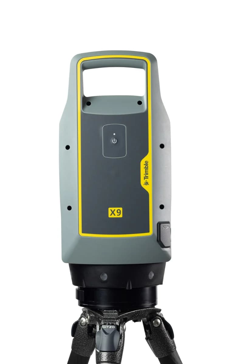


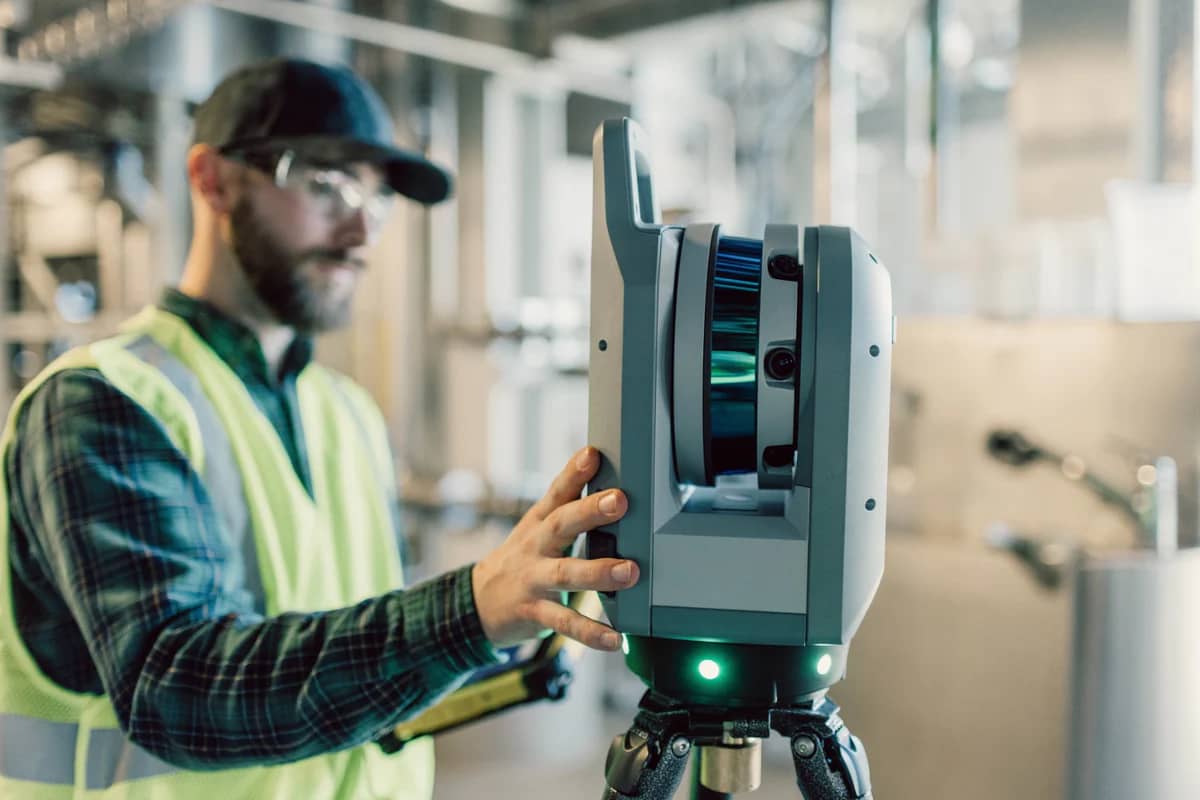
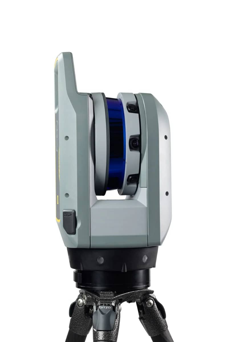
Trimble X9 3D Terrestrial Laser Scanner for Surveying, BIM and Reality Capture
TrimbleShowroomON REQUEST
Return & Refunds Policy
Delivery: 1–4 months after confirmation. Final timeline confirmed by our manager.
Protected by Topotronix
1. Escrow paymenti
Funds are held until the deal is verified.2. Quality Controli
Equipment can be inspected before delivery.3. Support until deliveryi
Our team supports the process until completion.ITEM'S SPECIFICS
Brand
Trimble
Model
X9
Condition
New
Year of manufacture
2026
Height, cm
28
Length, cm
52
Width, cm
38
Weight, kg
15
ITEM'S DESCRIPTION
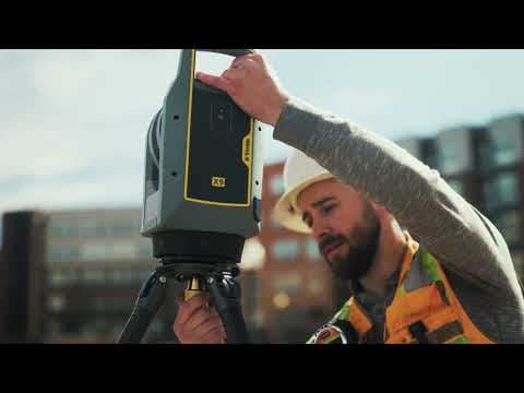
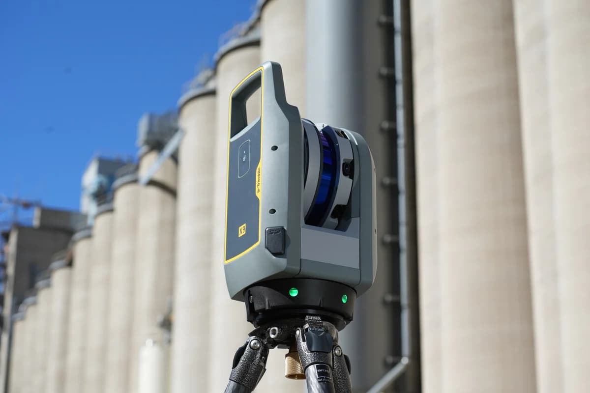
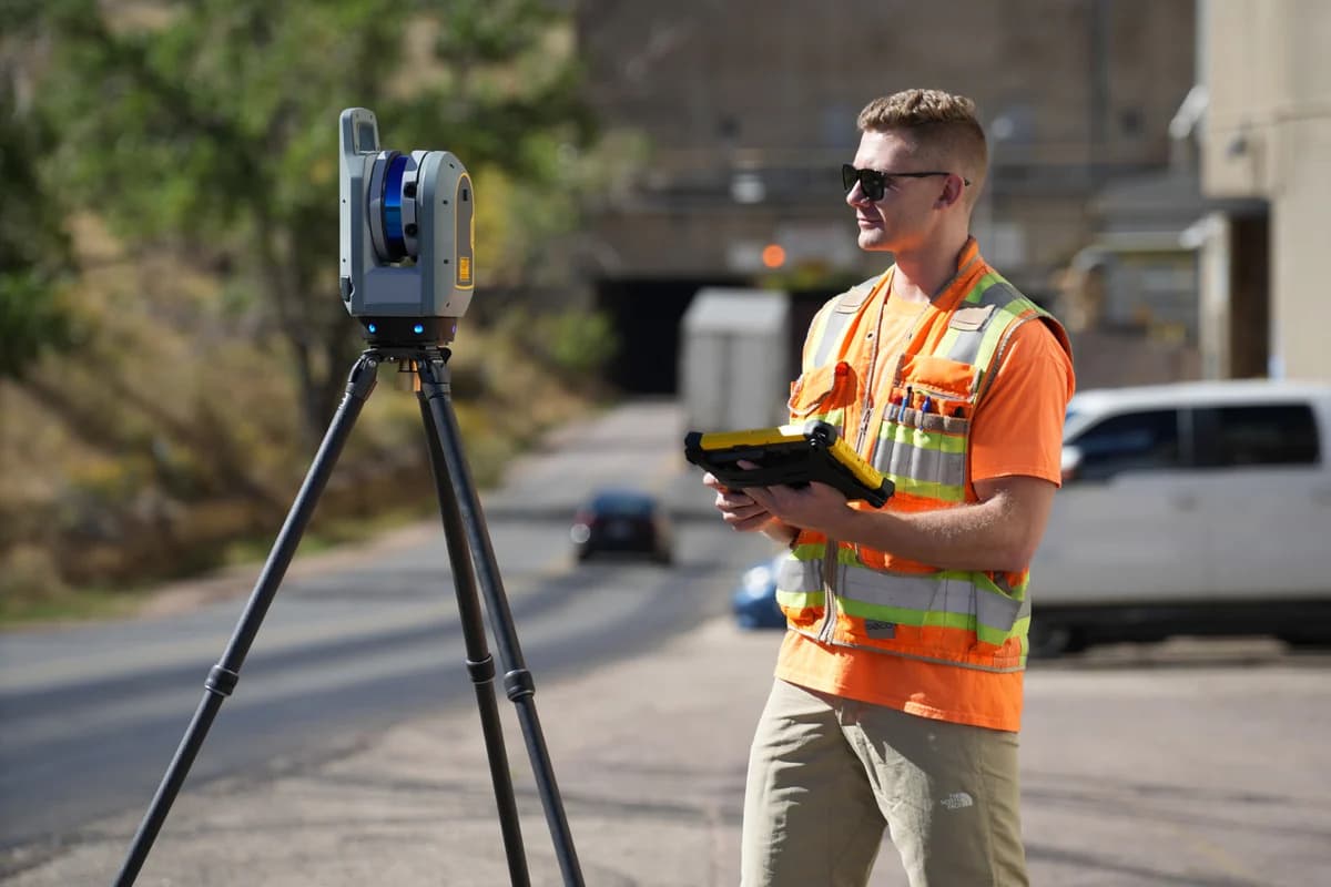
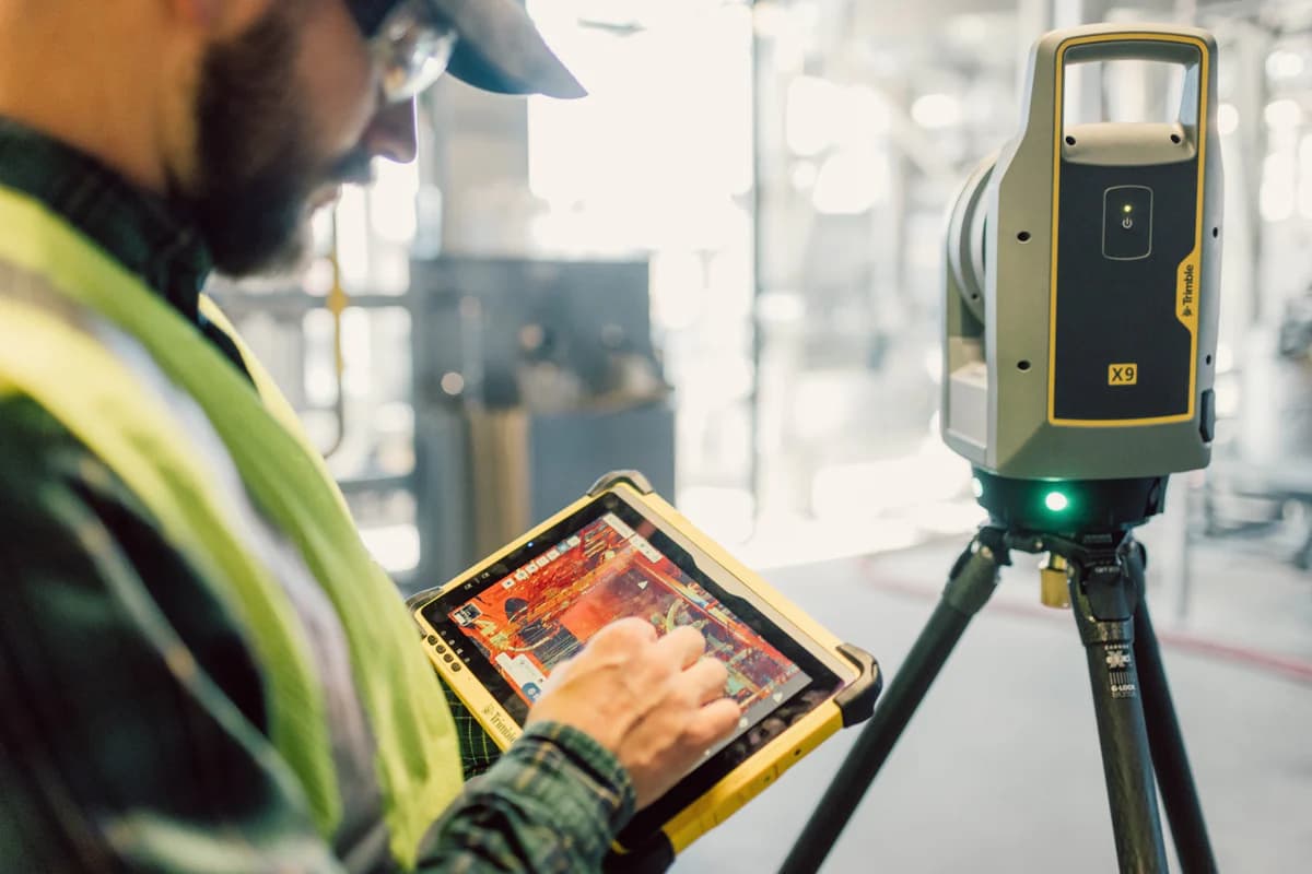
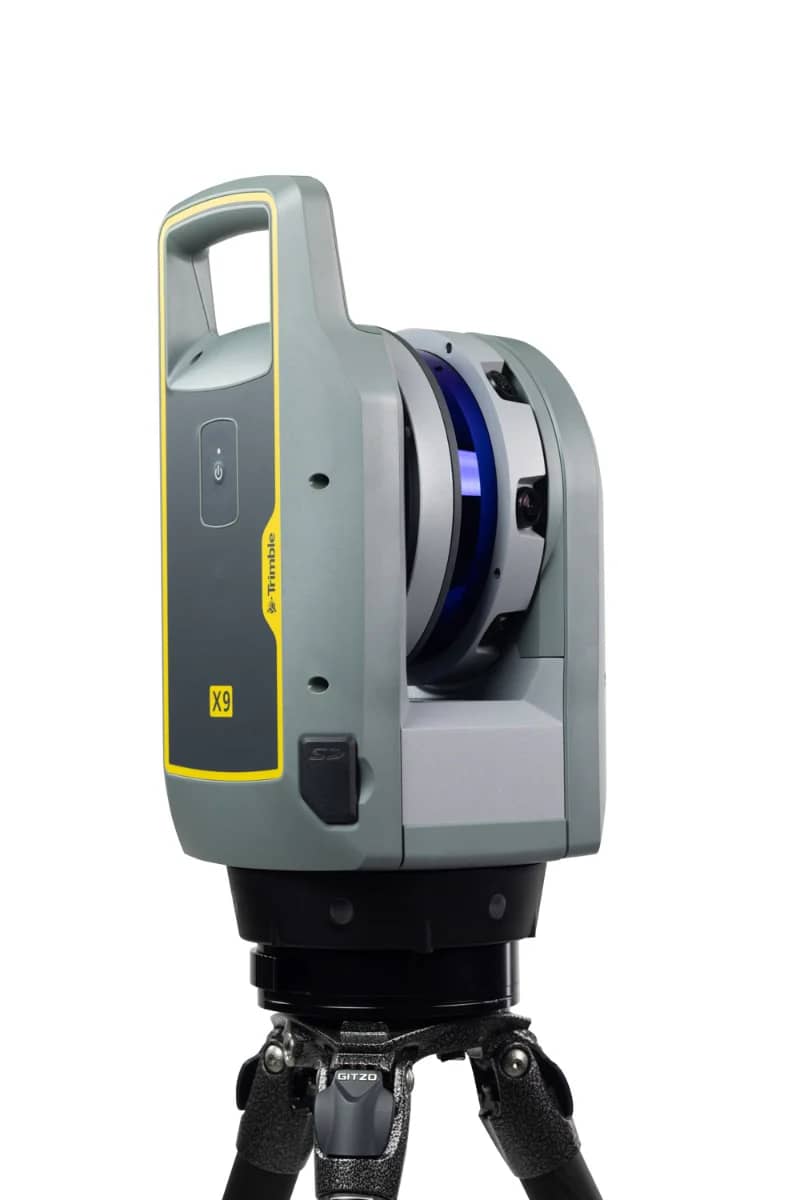
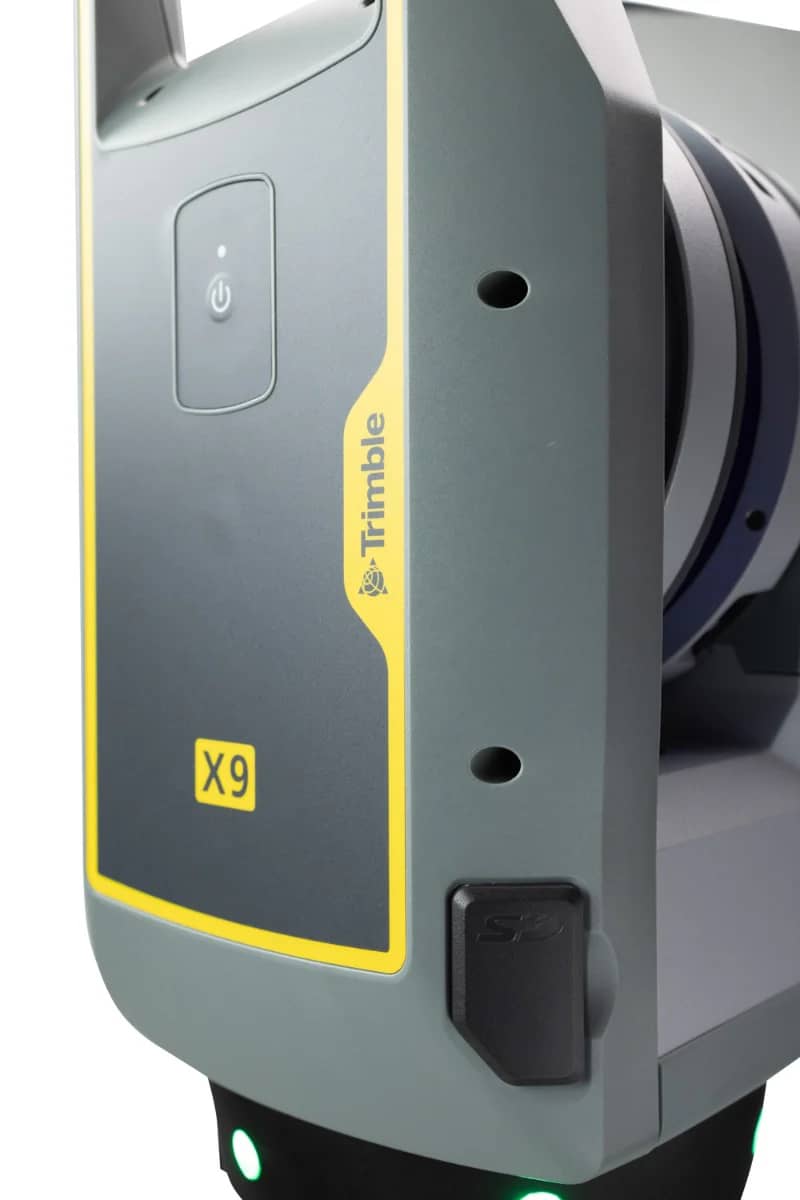
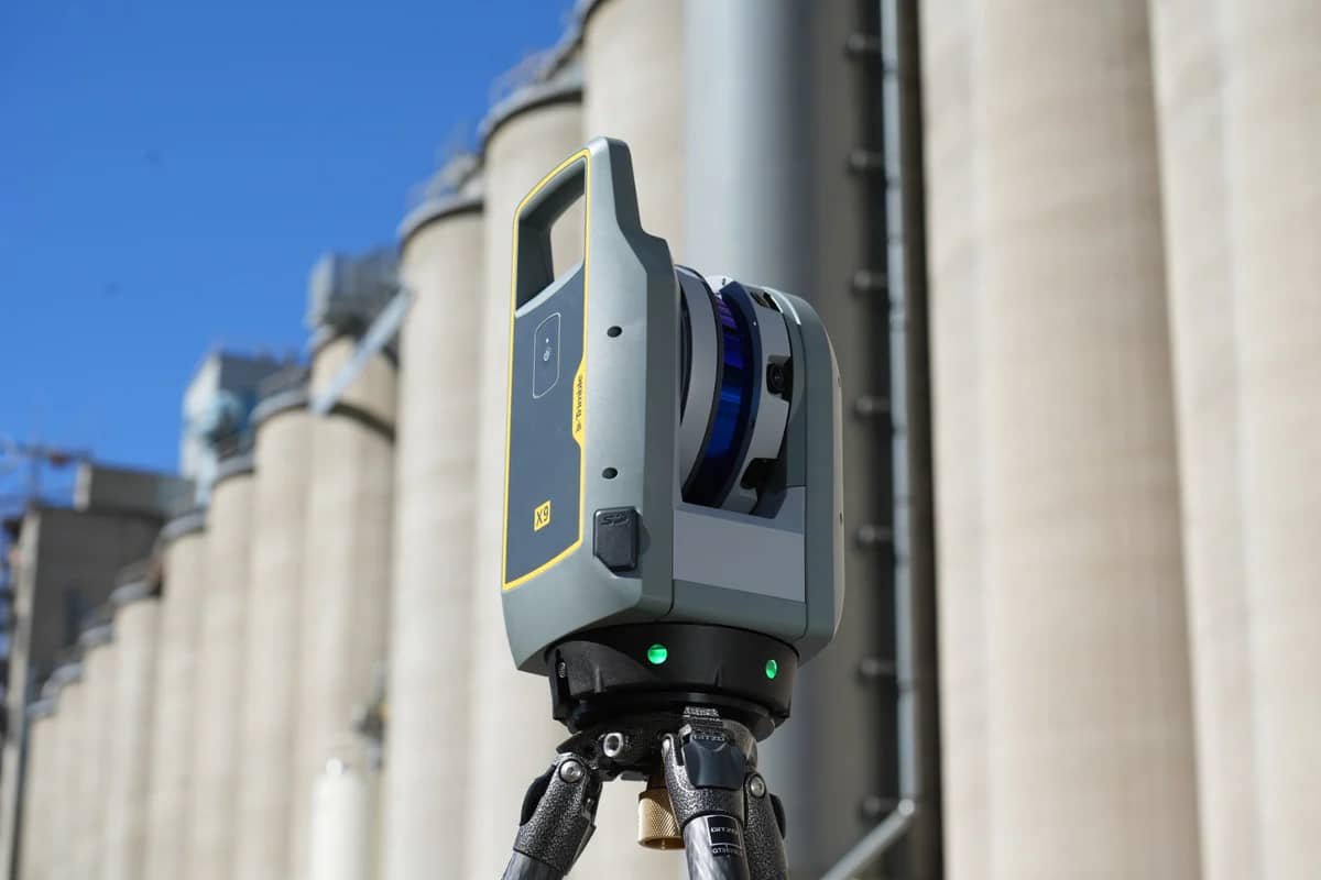
The Trimble X9 is a professional 3D terrestrial laser scanner designed for high-precision reality capture in surveying, construction, and infrastructure documentation projects. The system delivers fast and accurate point cloud acquisition, enabling surveyors and engineers to capture detailed spatial data for modeling and analysis.
Trimble X9 features advanced scanning technology, automatic calibration, and integrated imaging capabilities, allowing users to efficiently generate high-quality point clouds and visual documentation of project environments. The scanner is widely used for BIM workflows, construction verification, industrial plant documentation, heritage preservation, and infrastructure inspection.
The instrument is engineered to streamline field operations and improve data quality while reducing processing time during reality capture projects.
Through the Topotronix platform, surveying professionals and engineering companies can source advanced scanning systems such as the Trimble X9, enabling efficient 3D data capture and high-precision digital documentation of real-world environments.
Trimble X9 3D Terrestrial Laser Scanner for Surveying, BIM and Reality Capture
TrimbleShowroomON REQUEST
Return & Refunds Policy
Delivery: 1–4 months after confirmation. Final timeline confirmed by our manager.
Protected by Topotronix
1. Escrow paymenti
Funds are held until the deal is verified.2. Quality Controli
Equipment can be inspected before delivery.3. Support until deliveryi
Our team supports the process until completion.
49+Verified vendors

251+QC checks

301+Completed deals