

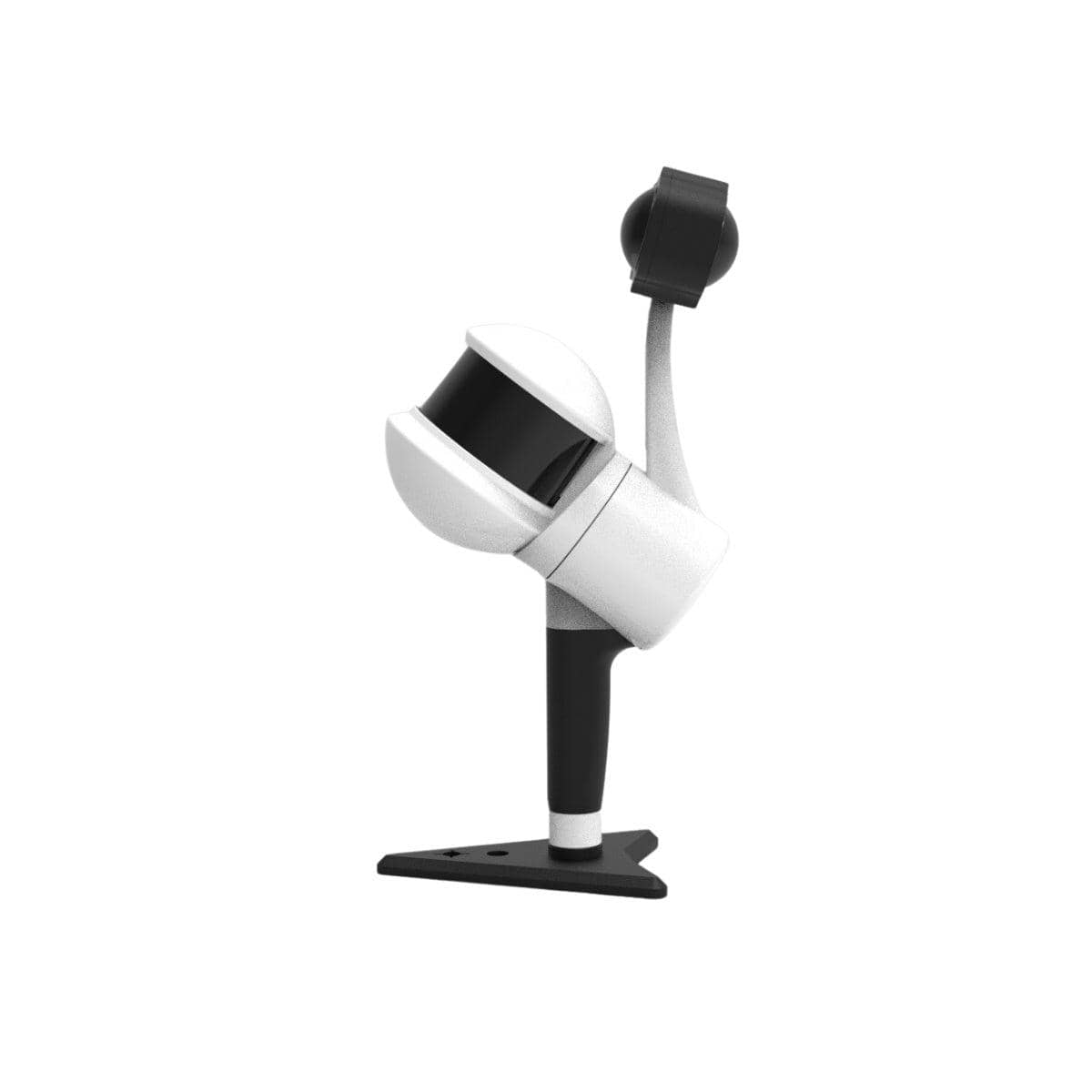
GreenValley LiGrip H300
OthersMarketplace
ITEM'S SPECIFICS
ITEM'S DESCRIPTION
LiGrip H300 is a high-performance handheld SLAM LiDAR scanning system designed for fast and accurate 3D data acquisition. Its rotating LiDAR technology enables efficient mapping in complex indoor and outdoor environments, making it ideal for surveying, construction, forestry, BIM, and 3D mapping applications.
This is a demo unit in excellent condition, fully functional and carefully maintained.
Key Features
300-Meters Scanning Range
640,000 pts/s
Boasting a cutting-edge XT32M laser, the LiGrip H300 achieves a maximum range of 300 meters, and the scanning rate can
reach 640,000 pts/s.
Versatile Mapping Methods
Choose from SLAM, RTK-SLAM, and PPK-SLAM for flexibility across a range of scenarios.
RTK-SLAM: Ideal for areas with CORS signal coverage, allowing you to directly obtain precise point clouds with absolute
coordinates.
PPK-SLAM: In areas without CORS signal coverage, you can choose to set up a base station to obtain point clouds with
absolute coordinates.
SLAM: Point clouds with absolute coordinates can be obtained through the integration of GCP control points (if point clouds
without absolute coordinates are sufficient, direct data collection can be performed).
Multi-Platform Compatibility
Use the handheld, backpack, vehicle-mounted, and drone-mounted to ensure comprehensive coverage and enhanced
efficiency for different scene requirements.
GreenValley LiGrip H300
OthersMarketplace

