


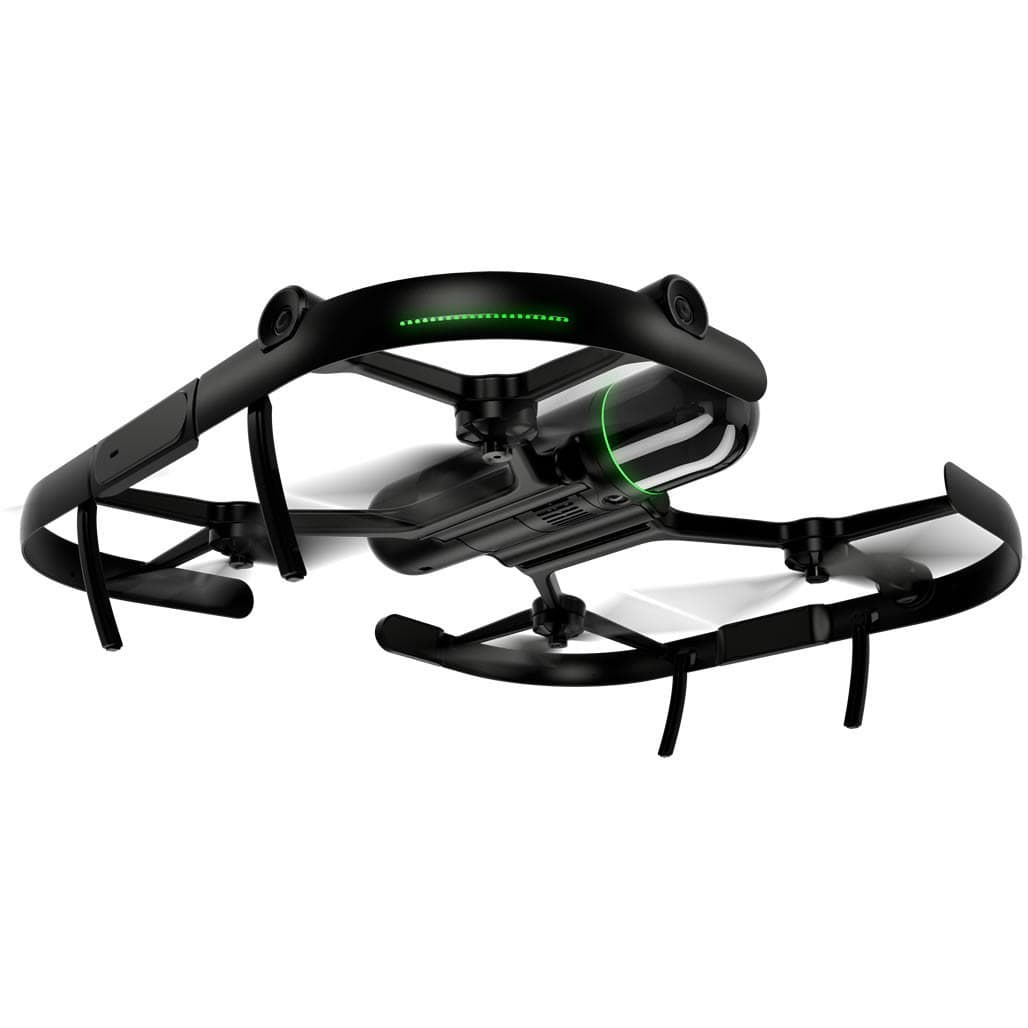
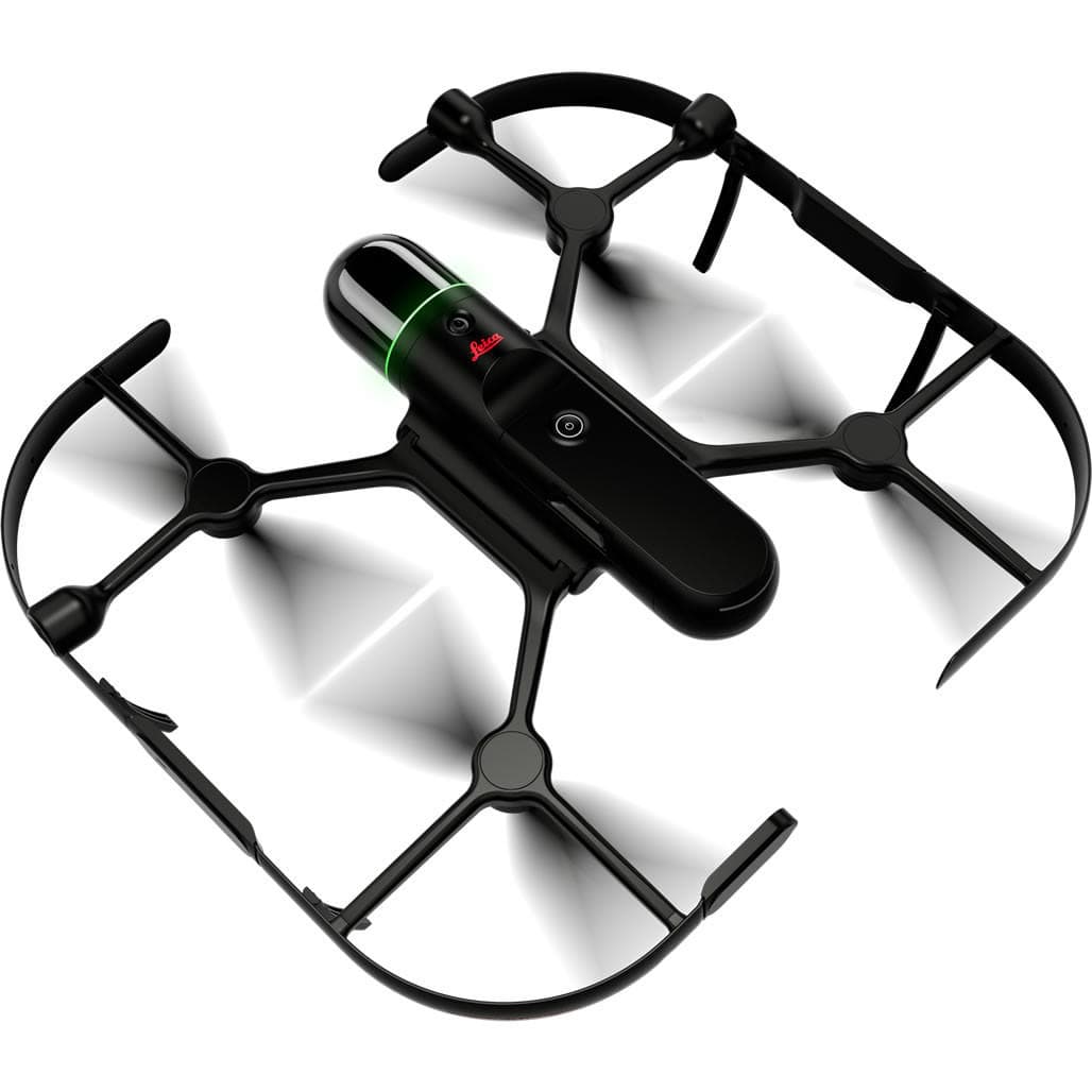
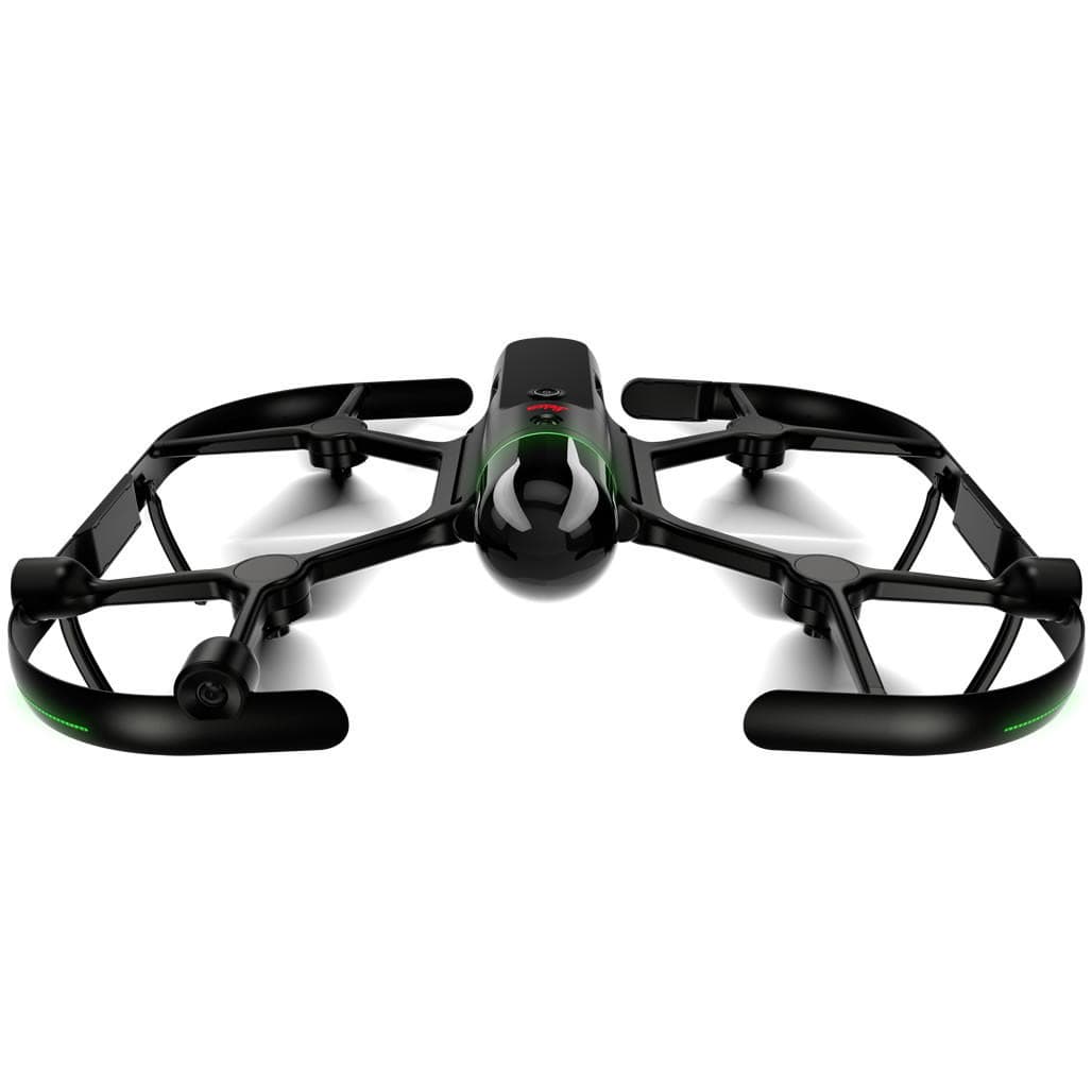


Leica BLK2FLY Autonomous Flying LiDAR Drone Scanner
LeicaShowroomITEM'S SPECIFICS
ITEM'S DESCRIPTION
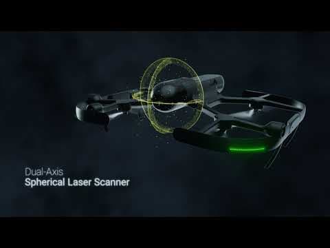
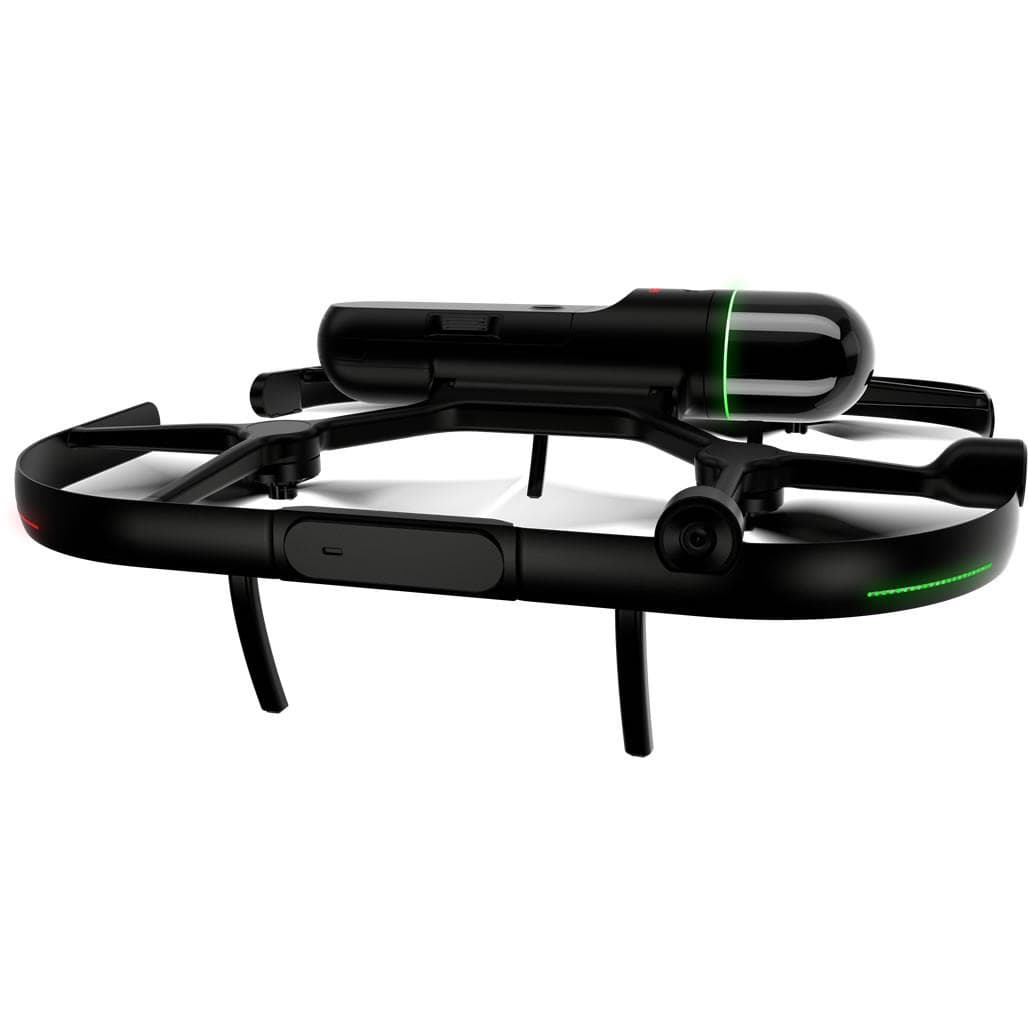
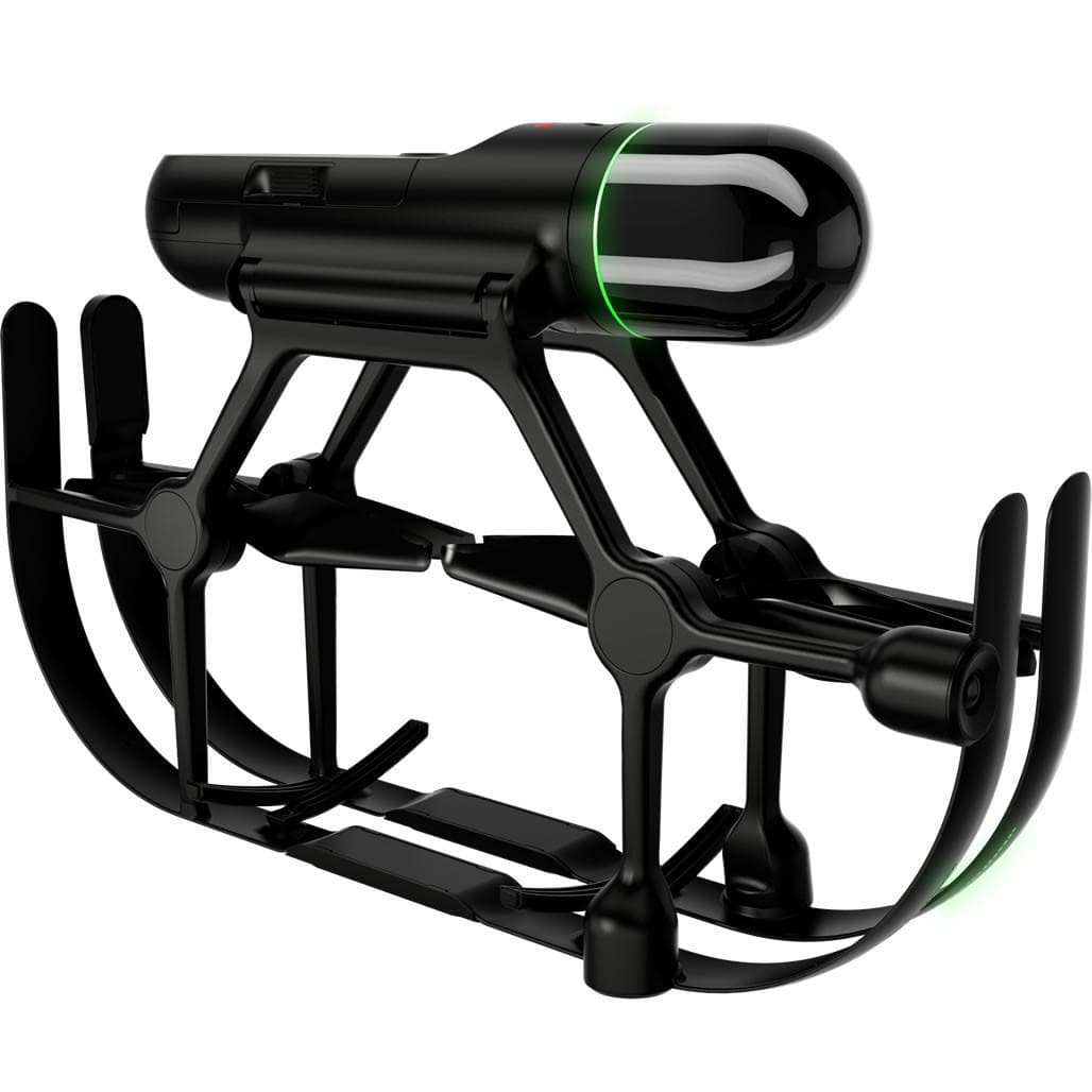
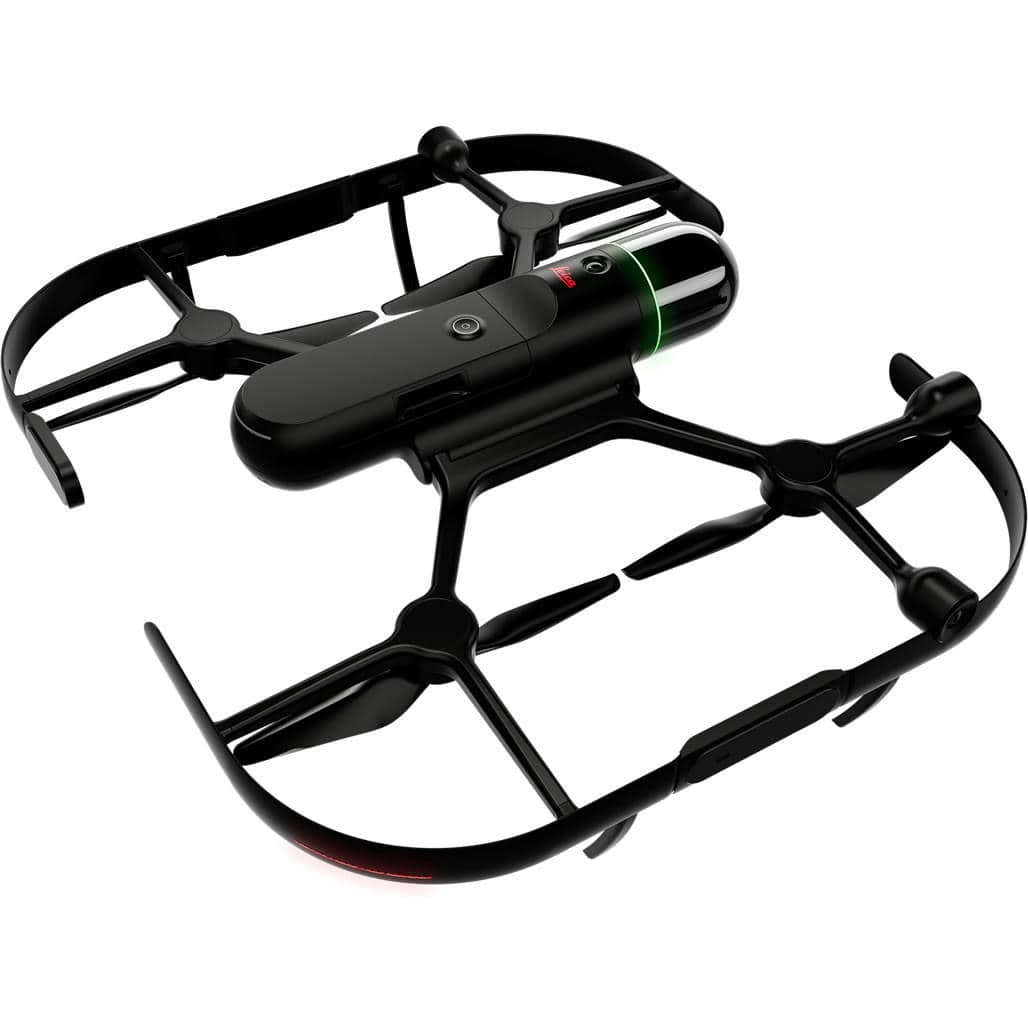
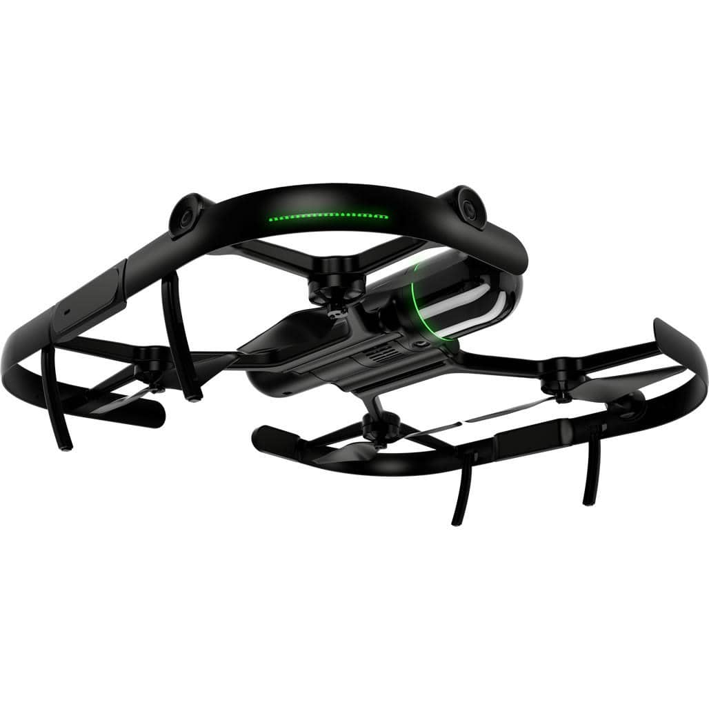
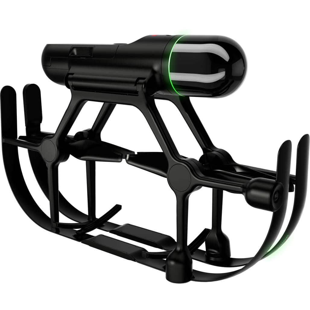
The Leica BLK2FLY is the world’s first fully integrated autonomous flying laser scanner designed for easy aerial reality capture. The system combines LiDAR scanning, cameras, radar, GNSS and SLAM technologies to autonomously capture detailed 3D point clouds of buildings, structures and environments while flying.
Using Leica’s GrandSLAM sensor fusion technology, the BLK2FLY integrates LiDAR SLAM, visual SLAM, radar and GNSS positioning to generate optimized flight paths and accurate point cloud data without complex flight planning.
The drone is designed for fully autonomous operation. With just a few taps on a tablet, users can define an area to scan and the BLK2FLY will automatically generate a flight path to capture building facades, rooftops and other hard-to-reach structures.
The onboard full-dome LiDAR scanner captures up to 420,000 points per second with a scanning range of up to 25 meters, producing dense and accurate point clouds for digital twin creation and infrastructure documentation.
Advanced obstacle avoidance using omnidirectional radar and LiDAR ensures safe and reliable flights even in complex environments.
Typical applications include building facade scanning, infrastructure inspection, construction documentation, digital twin generation, industrial facility capture and mapping of complex structures.
Captured data can be transferred directly to Leica Cyclone REGISTER 360 software or uploaded to the HxDR cloud platform for visualization, collaboration and point cloud processing.
Leica BLK2FLY Autonomous Flying LiDAR Drone Scanner
LeicaShowroom

