
EQUIPMENT DETAILS
Product Details
Negotiations

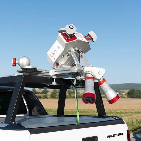
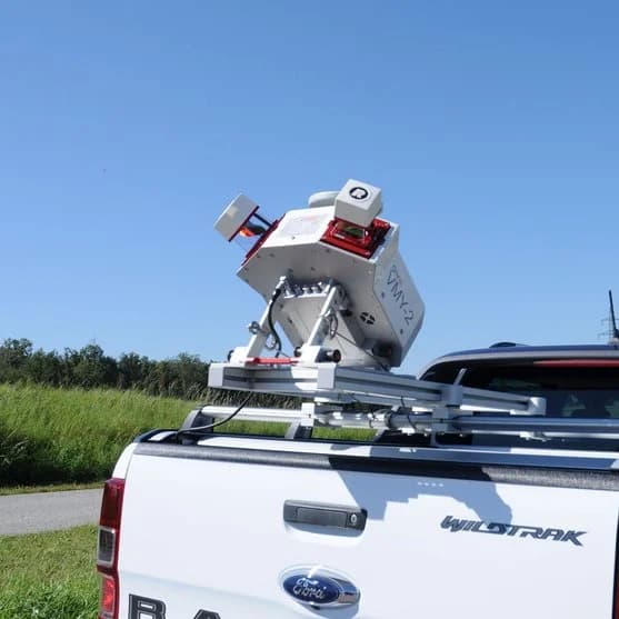
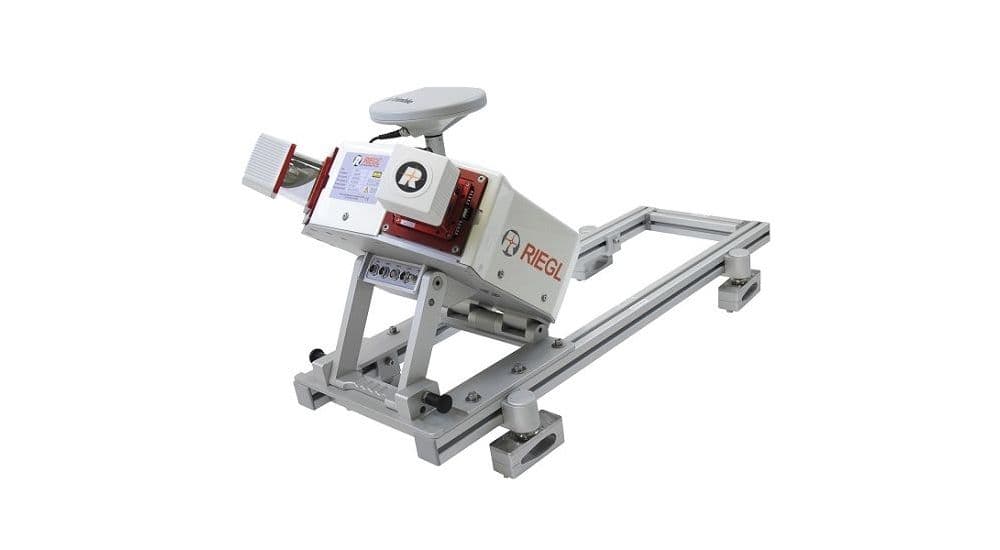
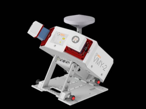


RIEGL VMY-2 Mobile Mapping System
RIEGLShowroomON REQUEST
Return & Refunds Policy
Delivery: 1–4 months after confirmation. Final timeline confirmed by our manager.
Protected by Topotronix
1. Escrow paymenti
Funds are held until the deal is verified.2. Quality Controli
Equipment can be inspected before delivery.3. Support until deliveryi
Our team supports the process until completion.ITEM'S SPECIFICS
Brand
RIEGL
Model
RIEGL VMY-2
Condition
New
Year of manufacture
2026
Height, cm
46
Length, cm
72
Width, cm
56
Weight, kg
32
ITEM'S DESCRIPTION
The RIEGL VMY-2 is an advanced mobile mapping system designed for high-speed LiDAR data acquisition from moving vehicles. Integrating high-performance laser scanners with GNSS and IMU positioning, the system captures highly accurate and georeferenced point clouds for road surveying, corridor mapping, and urban infrastructure documentation. The VMY-2 enables efficient large-scale reality capture and is widely used for smart city mapping, transportation planning, and digital twin creation.
RIEGL VMY-2 Mobile Mapping System
RIEGLShowroomON REQUEST
Return & Refunds Policy
Delivery: 1–4 months after confirmation. Final timeline confirmed by our manager.
Protected by Topotronix
1. Escrow paymenti
Funds are held until the deal is verified.2. Quality Controli
Equipment can be inspected before delivery.3. Support until deliveryi
Our team supports the process until completion.
49+Verified vendors

251+QC checks

301+Completed deals