Sort By:
SOLD OUT
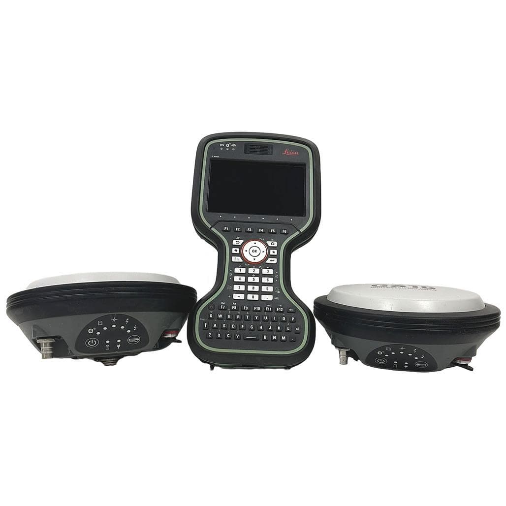
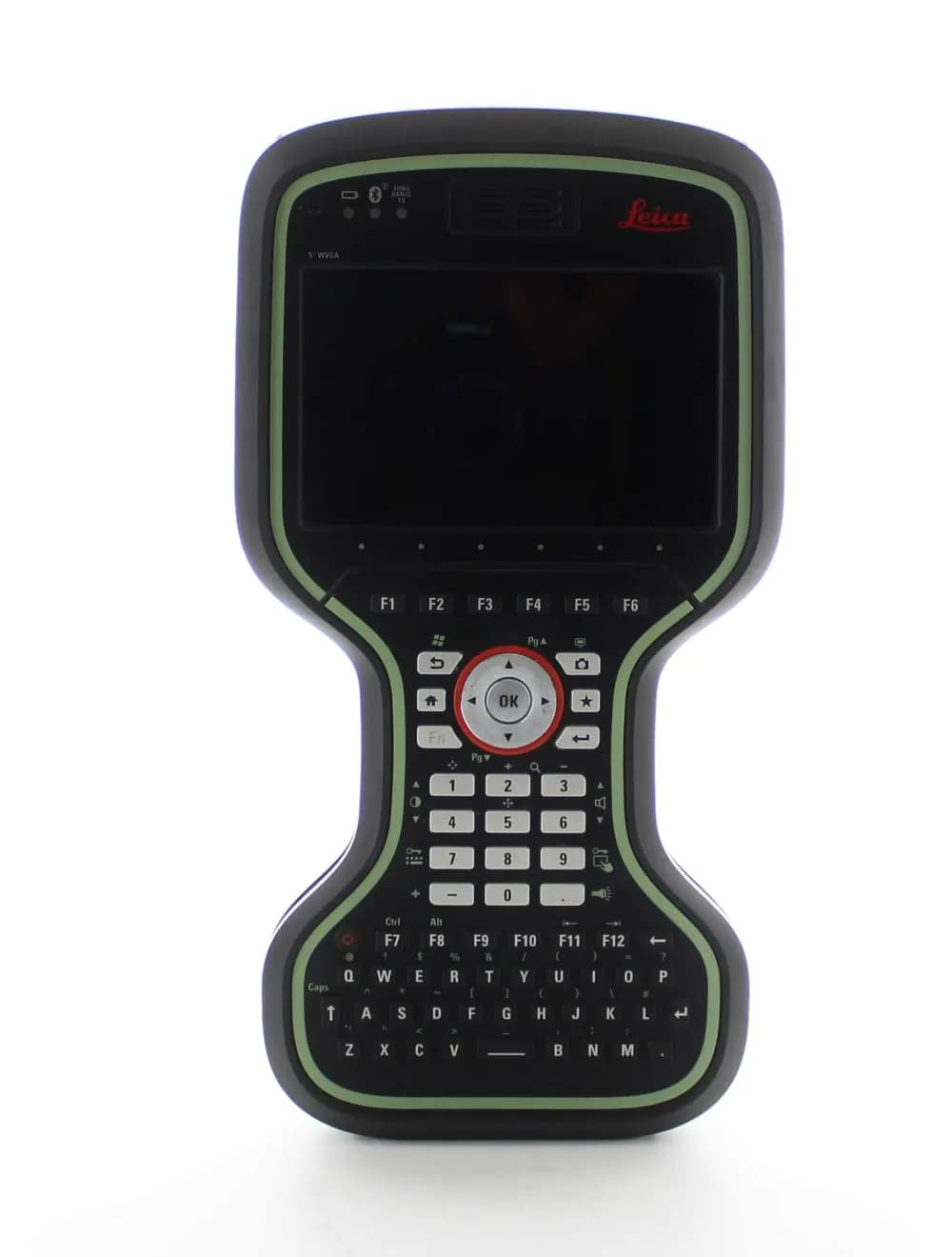
Used Leica GS15 Base & Rover with CS20 CDMA Controller
LeicaGS15 Base & Rover + CS20 CDMA
0
Used
€13 090,00
SOLD OUT
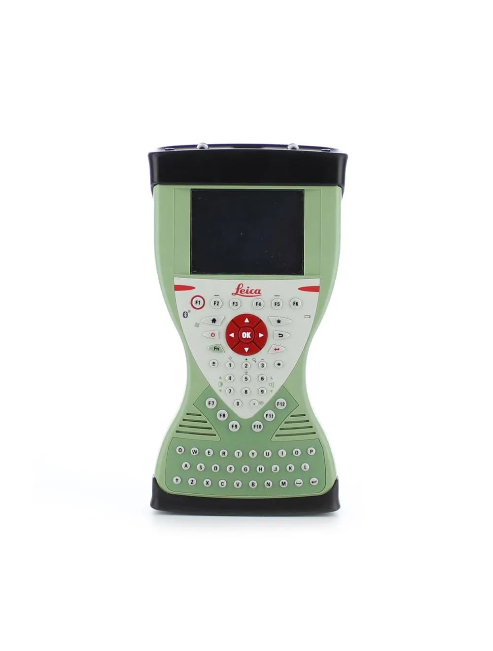
Used Leica GS14 UHF Base & Rover with CS15 Controller
LeicaGS14 UHF Base & Rover + CS15
0
Used
€14 294,50
A base and rover set is a complete, self-contained positioning system consisting of two GNSS receivers that communicate via a radio or cellular data link. This configuration provides a primary technical advantage by allowing surveyors to operate without dependency on external CORS networks, ensuring a reliable centimetre-level RTK link over an unlimited range within the radio's reach. While network RTK is suitable for urban areas, a dedicated base and rover set is the professional standard for remote sites, offshore projects, and environments where mobile network coverage is unavailable.
RTK baseline accuracy: Standard precision of ±8 mm + 1 ppm horizontal and ±15 mm + 1 ppm vertical, which degrades linearly with the distance from the base.
UHF radio link range: Operational reach of 5-15 km on 1 W internal power, extendable to 35 km with a 5 W external radio on open terrain.
Initialisation time: The system achieves a fixed solution in under 10 seconds for baselines under 10 km in open sky conditions.
Base station setup: Supports occupying a known control point or performing autonomous GNSS averaging over 15-30 minutes for relative positioning.
Data link options: Flexible communication including internal UHF radio, 4G/LTE internet, Wi-Fi, and NTRIP, switchable via field software.
Constellation support: GPS, GLONASS, Galileo, and BeiDou quad-constellation tracking on both the base and rover units for maximum satellite availability.
Power management: Base stations provide 8-14 hours of operation per charge, with support for external 12 V batteries for extended field sessions.
Selecting a kit requires evaluating the typical baseline distances of your projects and the availability of local mobile networks. For high-production environments, a Trimble R12i base + rover kit or a Leica GS18 T set offers a functional justification through advanced tilt compensation and superior signal tracking in heavy canopy. If budget is a primary concern for local relative surveys, an Emlid Reach RS3 base + rover setup provides a robust entry-level solution. Integration with the correct GNSS antenna and RTK GNSS receiver ensures the system can be scaled for future project demands.